Netherlands haritasi STEP formatinda
Netherlands haritasını STEP formatında indirin. OpenStreetMap verileri.
Oluşturma ~1–3 dk sürer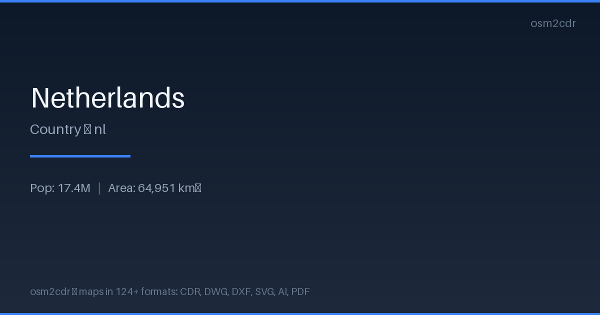
Map passport
Area64 951 km²
ProjectionWGS-84 (EPSG:4326)
LicenseODbL
Data sourceOpenStreetMap
STEP hakkında
STEP (ISO 10303) is the international standard for CAD data exchange. Precise B-Rep geometry for engineering design.
Kullanım alanları
- CAD model exchange
- engineering analysis
- manufacturing
- CNC machining
| Kategori | 3D |
| Dosya uzantısı | .step |
| Seviye | Free |
How to use STEP for Netherlands
- Select the Netherlands map area on the main page
- Choose STEP format and configure export settings
- Click Export and wait for processing
- Download the file and use in your application
Programs that open STEP
FreeCADSolidWorksCATIASiemens NXFusion 360Inventor