Map of Netherlands in COLLADA format
Last ned kartet over Netherlands i COLLADA-format. OpenStreetMap-data.
Kartgenerering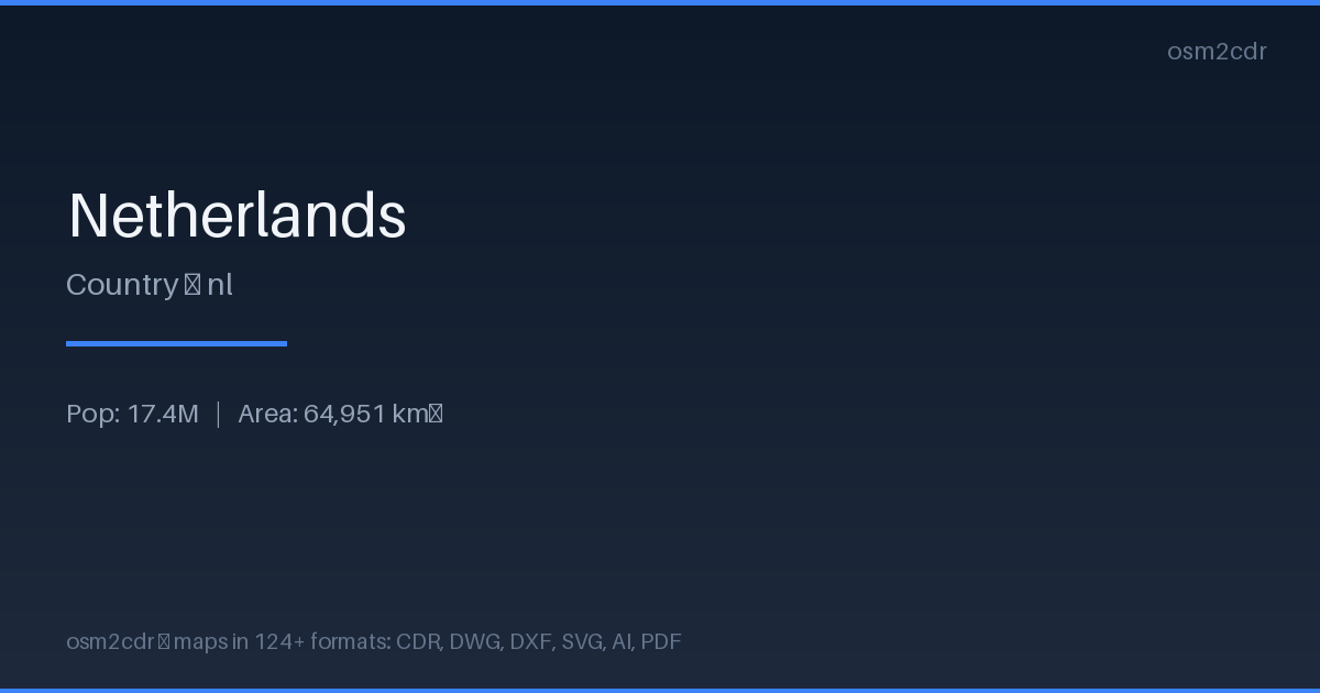
Map passport
Area64 951 km²
ProjectionWGS-84 (EPSG:4326)
LicenseODbL
Data sourceOpenStreetMap
Om COLLADA
COLLADA (COLLAborative Design Activity) is the Khronos open XML format for 3D asset exchange. ISO/PAS 17506 standard.
Bruksområder
- 3D model exchange
- Google Earth
- architectural projects
- educational materials
| Kategori | 3D |
| Filendelse | .dae |
| Nivå | Free |
How to use COLLADA for Netherlands
- Select the Netherlands map area on the main page
- Choose COLLADA format and configure export settings
- Click Export and wait for processing
- Download the file and use in your application
Programs that open COLLADA
BlenderSketchUpMaya3ds MaxGoogle EarthOpenSim