Map of Namibia in USDZ format
Muat turun peta Namibia dalam format USDZ. Data OpenStreetMap.
Penjanaan peta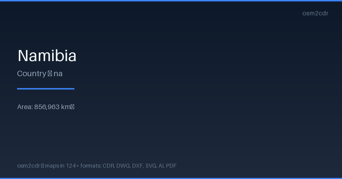
Map passport
Area856 963 km²
Buildings75 808
Roads67 609 km
Points of interest9 964
ProjectionWGS-84 (EPSG:4326)
LicenseODbL
Data sourceOpenStreetMap
Tentang USDZ
USDZ is Apple's format for augmented reality. A single file with 3D model, textures, and materials for Quick Look on iOS/macOS.
Kes penggunaan
- AR on iPhone/iPad
- 3D preview in Safari
- Apple Vision Pro
- presentations
| Kategori | GIS |
| Sambungan fail | .usdz |
| Tahap | Free |
What's in the USDZ map of Namibia
75,808 buildings (4,173 residential, 449 commercial, 804 industrial, 70 religious), 67,608.9 km of roads, 9,964 points of interest, 200 landmarks.
Mostly secondary roads 22,669.3 km, unclassified roads 11,747.9 km, primary roads 10,824.1 km.
Among the objects: schools — 1,393, parking — 1,154, pitch — 1,047.
Main streets: Klein Nossob Route, Omakange Road, Okongo-Mpungu Road, Sossusvlei Road, C14
Landmarks: Omaruru Museum, Schmelen House, Lizauli Historical Village, Mafwe Living Museum, Outapi War Museum
How to use USDZ for Namibia
- Select the Namibia map area on the main page
- Choose USDZ format and configure export settings
- Click Export and wait for processing
- Download the file and use in your application
Programs that open USDZ
Reality ComposerXcodeBlender (USDZ plugin)NVIDIA Omniverse