Mapa de Sinaloa em formato CSV
Baixe o mapa de Sinaloa no formato CSV. Dados OpenStreetMap.
Geração do mapa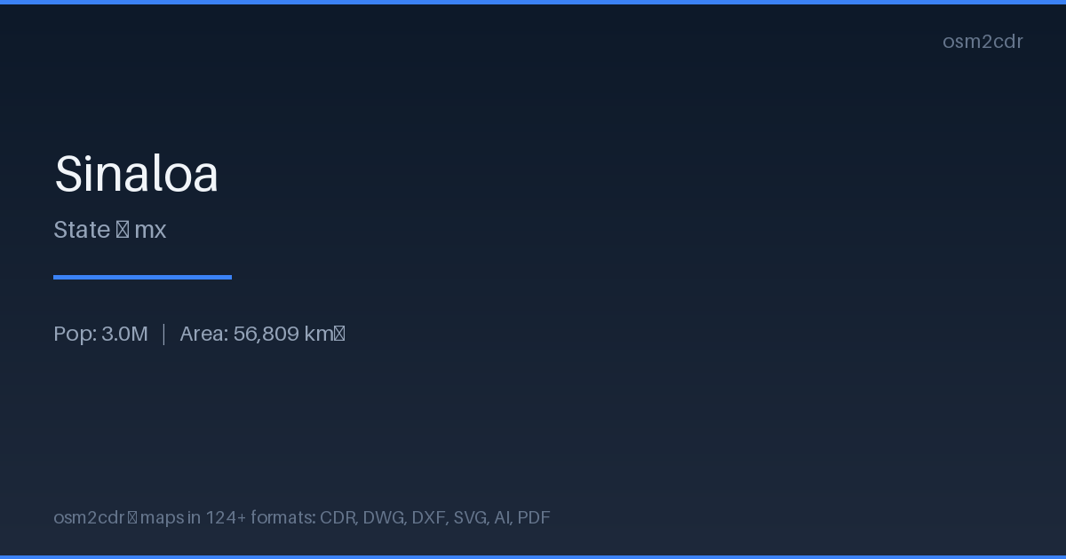
Map passport
Sobre CSV
Text-based tabular format with coordinates in columns. A universal way to export geodata for spreadsheet analysis and data processing scripts.
Casos de uso
- Excel analysis
- database import
- Python/R data processing
- visualization
| Categoria | GIS |
| Extensão do arquivo | .csv |
| Nível | Free |
What's in the CSV map of Sinaloa
11,010 buildings (975 residential, 139 commercial, 193 industrial, 33 religious), 42,167.9 km of roads, 1,901 points of interest, 15 landmarks.
Mostly unclassified roads 15,840.8 km, residential streets 14,296.3 km, tertiary roads 5,361.6 km.
Among the objects: restaurant — 423, hotels — 209, convenience — 175.
Table with 1,901 points of interest and coordinates. Opens in Excel, Google Sheets, and any GIS.
Main streets: Los Mochis-Choix, Carretera Culiacán - Altata, Carretera Durango-Villa Unión, Carretera Surutato-Badiraguato, Carretera Badiraguato-Soyatita
Landmarks: CICMA Centro de Innovación Cultural Mazatlán, Museo Comunitario "Gral. Domingo Rubi", Sea Shell City, Museo Que viva Sinaloa, museo la cruz
How to use CSV for Sinaloa
- Select the Sinaloa map area on the main page
- Choose CSV format and configure export settings
- Click Export and wait for processing
- Download the file and use in your application