Map of Aguascalientes in EMF format
Muat turun peta Aguascalientes dalam format EMF. Data OpenStreetMap.
Penjanaan peta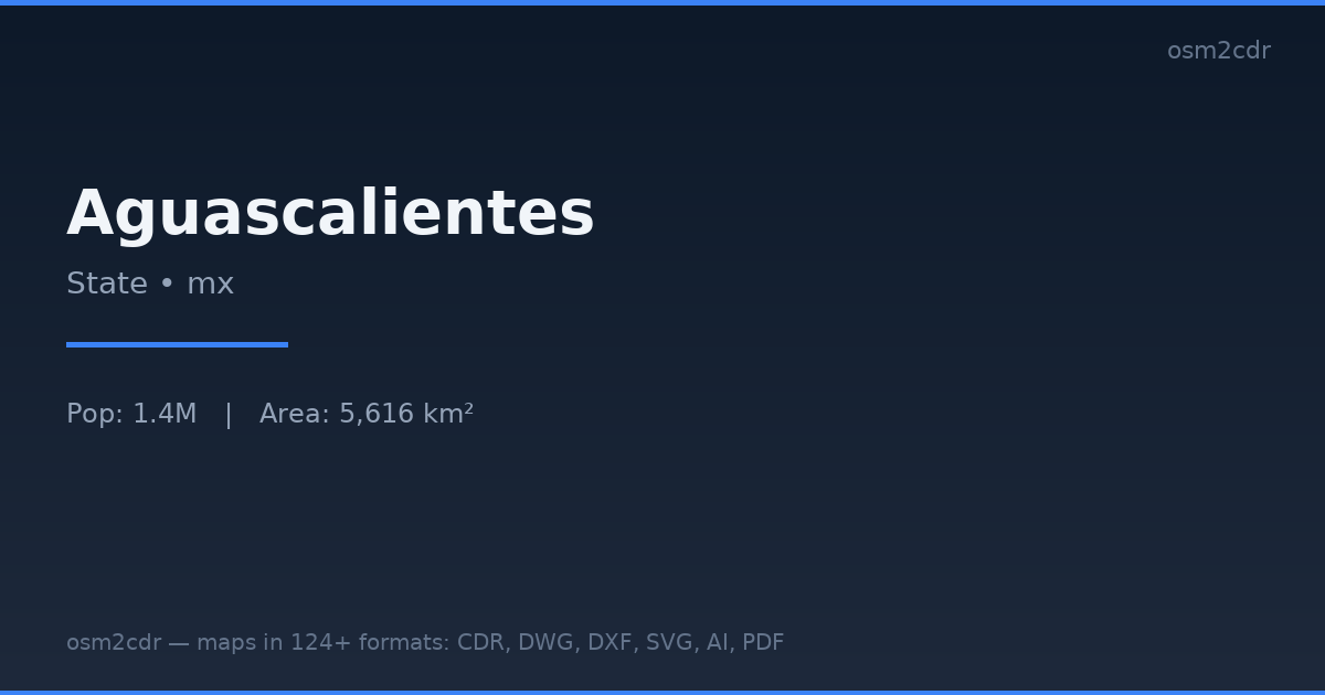
Map passport
Tentang EMF
EMF (Enhanced Metafile) is a Windows vector format for embedding graphics in Office documents. Maintains scalability in Word/PowerPoint.
Kes penggunaan
- Embedding maps in Word
- PowerPoint
- reports
- business documents
| Kategori | GIS |
| Sambungan fail | .emf |
| Tahap | Free |
What's in the EMF map of Aguascalientes
5,693 buildings (2,961 residential, 76 commercial, 170 industrial, 51 religious), 13,009.7 km of roads, 3,208 points of interest, 15 landmarks.
Mostly residential streets 5,788.5 km, unclassified roads 2,614.6 km, service roads 1,583.3 km.
22.2% of the area is green space.
Among the objects: schools — 1,079, kindergarten — 790, college — 168.
Main streets: Carretera Aguascalientes - Jalpa, Carretera Ent. Rivier - San Marcos, Carretera Palo Alto, Carretera San José de García, Carretera Providencia - Luis Moya
Landmarks: Centro Regional de Aguascalientes, Bóveda Jesus F Contreras, Museo de la Muerte, Museo Descubre, Domo IMAX
How to use EMF for Aguascalientes
- Select the Aguascalientes map area on the main page
- Choose EMF format and configure export settings
- Click Export and wait for processing
- Download the file and use in your application