Map of Stulpiņi in COLLADA format
Κατεβάστε τον χάρτη Stulpiņi σε μορφή COLLADA. Δεδομένα OpenStreetMap.
Η δημιουργία διαρκεί ~1-3 λεπτά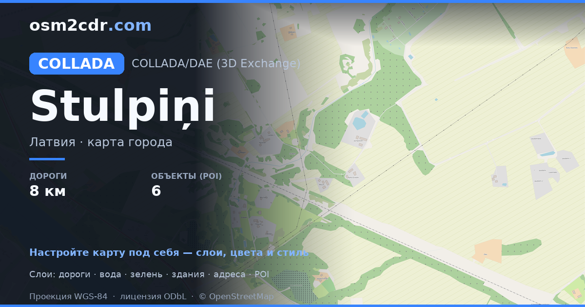
Map passport
Area1.1 km²
Buildings53
Roads8.4 km
Points of interest6
ProjectionWGS-84 (EPSG:4326)
LicenseODbL
Data sourceOpenStreetMap
Σχετικά με COLLADA
COLLADA (COLLAborative Design Activity) is the Khronos open XML format for 3D asset exchange. ISO/PAS 17506 standard.
Περιπτώσεις χρήσης
- 3D model exchange
- Google Earth
- architectural projects
- educational materials
| Κατηγορία | 3D |
| Επέκταση αρχείου | .dae |
| Επίπεδο | Free |
What's in the COLLADA map of Stulpiņi
53 buildings, 8.4 km of roads, 6 points of interest, 1 landmarks.
Mostly unclassified roads 6.6 km, service roads 1.8 km.
100% of the area is green space.
Among the objects: garden — 5, horse_riding — 1.
Landmarks: Asotes pilskalns
How to use COLLADA for Stulpiņi
- Select the Stulpiņi map area on the main page
- Choose COLLADA format and configure export settings
- Click Export and wait for processing
- Download the file and use in your application
Programs that open COLLADA
BlenderSketchUpMaya3ds MaxGoogle EarthOpenSim