Map of Kiribati in PDF/A format
Κατεβάστε τον χάρτη Kiribati σε μορφή PDF/A. Δεδομένα OpenStreetMap.
Η δημιουργία διαρκεί ~1-3 λεπτά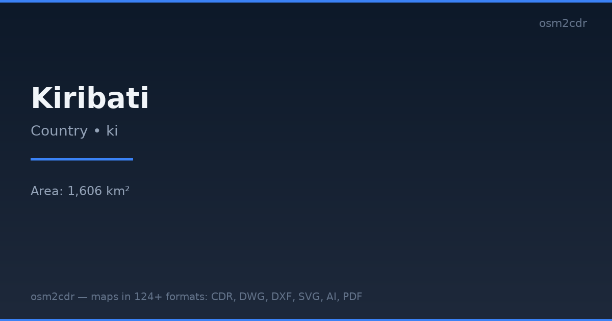
Map passport
Area1 606 km²
ProjectionWGS-84 (EPSG:4326)
LicenseODbL
Data sourceOpenStreetMap
Σχετικά με PDF/A
PDF/A (ISO 19005) is an archival format for long-term document preservation. A self-contained file without external dependencies.
Περιπτώσεις χρήσης
- Archiving
- government archives
- legal documents
- libraries
| Κατηγορία | GIS |
| Επέκταση αρχείου | .pdf |
| Επίπεδο | Free |
How to use PDF/A for Kiribati
- Select the Kiribati map area on the main page
- Choose PDF/A format and configure export settings
- Click Export and wait for processing
- Download the file and use in your application
Programs that open PDF/A
Adobe AcrobatLibreOfficePDFA-PilotveraPDFGhostscript