Mapa de Bihar en formato PostScript
Mapa creado a partir de datos de OpenStreetMap, listo para descargar
Personaliza el mapa
Abre el area de este lugar en el constructor y ajusta todo
Abrir en el constructor →Ficha del mapa
Qué contiene este mapa por defecto
Así se genera el mapa «tal cual» — cada ajuste se puede cambiar en el constructor.
.ps
Sobre PostScript
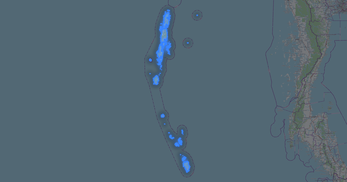
Mapa de Bihar en formato PostScript — una exportación de datos reales de OpenStreetMap para el área seleccionada.
PostScript is Adobe's page description language. Professional format for typographic printing and PostScript printers.
Qué capas contiene el archivo
Para el área seleccionada, este archivo contiene:
- Carreteras
- Edificios
- Agua
- Zonas verdes
- Puntos de interés
Sistemas de coordenadas
WGS 84 (EPSG:4326), seleccionable en el asistente
Compatibilidad
Unidades de medida
Metros (proyección en el sistema de coordenadas elegido)
| Categoría | SIG |
| Extensión de archivo | .ps |
| Nivel | Gratis |
What's in the PostScript map of Bihar
194,713 buildings (4,023 residential, 217 commercial, 260 industrial, 67 religious), 196,814.1 km of roads, 3,901 points of interest, 15 landmarks.
The area covers 94,155 km², with about 2 buildings per km².
Mostly residential streets 94,941.3 km, unclassified roads 63,612.9 km, tertiary roads 16,630.3 km.
The map marks 5 parks and 6 water bodies.
Key amenities: colleges — 60, schools — 212, hospitals — 742.
Public transport: 63 bus stops, 127 tram stops, 3 metro stations, 679 rail stations.
Main streets: State Highway 65, Rewa -Kubauli-sarmastpur-Fatehabad Bandh(Dam), Mohan Road, Gaya-Sherghati Road, Sun Street
Landmarks: Srikrishna Science Museum, Prachin Bharat Multimedia Museum, Bapu Tower, Bihar Muesuem of Wax, Nalanda museum
Cómo usar PostScript para Bihar
- Selecciona el área del mapa de Bihar en la página principal
- Elige el formato PostScript y configura los parámetros de exportación
- Haz clic en «Exportar» y espera a que termine el procesamiento
- Descarga el archivo listo y úsalo en el programa que necesites