Karte von Herrera im JPEG-Format
Laden Sie die Karte von Herrera im JPEG-Format herunter. OpenStreetMap-Daten, sofortige Generierung.
Kartengenerierung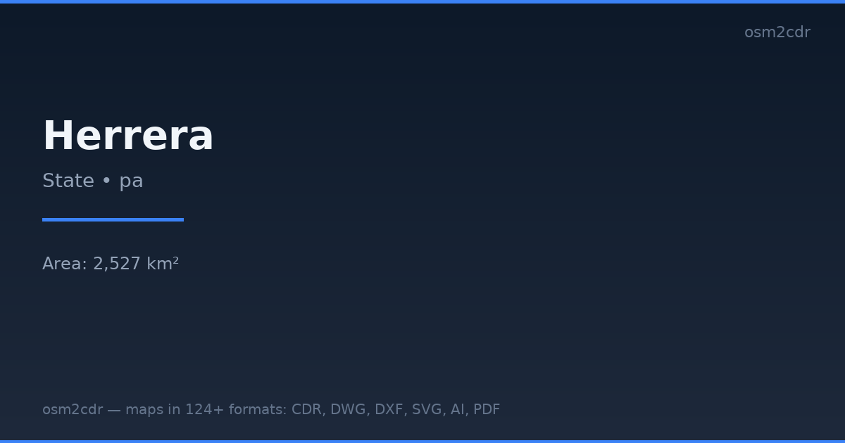
Map passport
Area2 527 km²
Buildings3 373
Roads2 312 km
Points of interest146
ProjectionWGS-84 (EPSG:4326)
LicenseODbL
Data sourceOpenStreetMap
Über JPEG
JPEG is a universal photo format with adjustable compression. Compact map file for documents and web publishing.
Anwendungsfälle
- Web publishing
- social media
- presentations
- email newsletters
| Kategorie | GIS |
| Dateierweiterung | .jpg |
| Tarif | Free |
What's in the JPEG map of Herrera
3,373 buildings (717 residential, 12 commercial, 3 industrial, 1 religious), 2,311.8 km of roads, 146 points of interest, 11 landmarks.
Mostly unclassified roads 893.9 km, residential streets 785.2 km, tertiary roads 296.3 km.
3.4% of the area is green space.
Among the objects: restaurant — 26, supermarket — 15, convenience — 14.
Main streets: Vía Pesé, Vía Ocú, Vía Las Minas - Ocú, Macaracas-Los Posos, Los Posos-Pesé
Landmarks: Museo de Chitre, El Agallito, mascaras, Piscina Pública, Parador Fotográfico de Ocú
How to use JPEG for Herrera
- Select the Herrera map area on the main page
- Choose JPEG format and configure export settings
- Click Export and wait for processing
- Download the file and use in your application
Programs that open JPEG
All browsersPhotoshopGIMPany image viewer