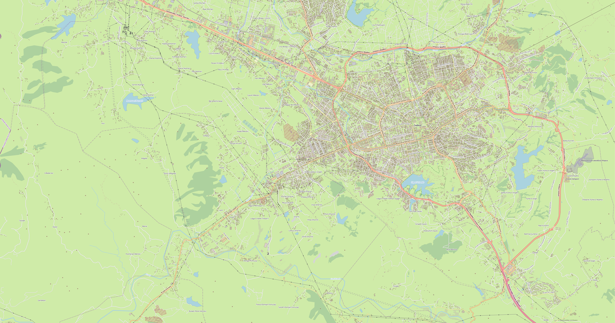
Map of Kamez in EPS format
A map built from OpenStreetMap data, ready to download
Customize the map
Open this place's area in the constructor and adjust everything to your needs
Open in constructor →Map passport
What this map contains by default
This is how the map is built as-is — every setting can be changed in the constructor.

About EPS
Map of Kamez in EPS — an export of real OpenStreetMap data for the selected area.
Encapsulated PostScript — a print-industry standard for exchanging vector artwork. Supports CMYK color and raster previews, compatible with any professional software.
Which layers are in the file
This file for the selected area contains:
- Roads
- Buildings
- Water
- Greenery
- Points of interest
Coordinate systems
WGS 84 (EPSG:4326), selectable in the wizard
Compatibility
Units
Meters (projected in the chosen coordinate system)
| Category | Vector |
| File extension | .eps |
| Tier | Free |
What's in the EPS map of Kamez
28,290 buildings (793 residential, 217 commercial, 115 industrial, 4 religious), 876.9 km of roads, 1,584 points of interest, 15 landmarks.
The area covers 75 km², with about 379 buildings per km².
Mostly residential streets 457.3 km, service roads 196.8 km, tertiary roads 85.8 km.
21.4% of the area is green space.
The map marks 9 parks and 9 water bodies.
Key amenities: schools — 43, kindergartens — 26, supermarkets — 44.
Public transport: 114 bus stops, 2 rail stations.
EPS map contains 28,290 buildings and 876.9 km of roads. Ready for professional printing and layout.
Main streets: Bulevardi Nënë Tereza, Rruga Azem Galica, Rruga Demokracia, Bulevard Ramush Haradinaj, Rruga Argjinatura
Landmarks: Teatri i Hapur i Parkut, Kisha Ungjillore, Xhami, Xhamia Laknas, Xhamia e lagjes Bathore
How to use EPS for Kamez
- Select the Kamez map area on the main page
- Choose EPS format and configure export settings
- Click Export and wait for processing
- Download the file and use in your application