Ceuta haritasi MapInfo TAB formatinda
Ceuta haritasını MapInfo TAB formatında indirin. OpenStreetMap verileri.
Oluşturma ~1–3 dk sürer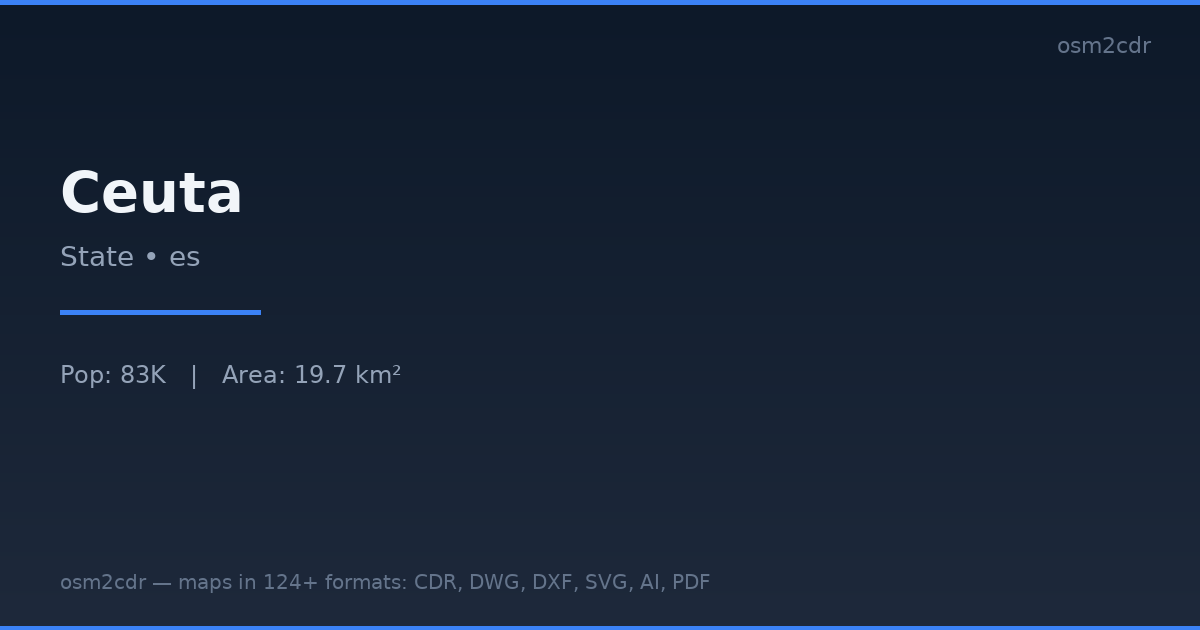
Map passport
Area20 km²
Buildings2 416
Roads270 km
Points of interest262
ProjectionWGS-84 (EPSG:4326)
LicenseODbL
Data sourceOpenStreetMap
MapInfo TAB hakkında
MapInfo TAB is the native MapInfo Professional format. Binary, with full support for styles, labels, and thematic maps.
Kullanım alanları
- MapInfo Professional
- municipal GIS
- telecom
- retail analytics
| Kategori | GIS |
| Dosya uzantısı | .tab |
| Seviye | Free |
What's in the MapInfo TAB map of Ceuta
2,416 buildings (165 residential, 3 commercial, 3 industrial, 5 religious), 270.5 km of roads, 262 points of interest, 15 landmarks.
Mostly residential streets 86.8 km, service roads 83.6 km, unclassified roads 32.0 km.
16.2% of the area is green space.
Among the objects: artwork — 62, restaurant — 29, bench — 17.
Main streets: A2, Carretera del Monte Hacho, Calle Teniente Coronel Gautier, Avenida Juan de Borbón, Avenida Compañía de Mar
Landmarks: Museo del Revellín, Fuerte de Anyera, Baluarte de San Pedro, Fortaleza del Hacho, Fuente Caballo
How to use MapInfo TAB for Ceuta
- Select the Ceuta map area on the main page
- Choose MapInfo TAB format and configure export settings
- Click Export and wait for processing
- Download the file and use in your application
Programs that open MapInfo TAB
MapInfo ProQGISGDAL/OGRFMEGlobal Mapper