Map of Germany in PostScript format
Download Germany map in PostScript format. OpenStreetMap data, instant generation.
Map generation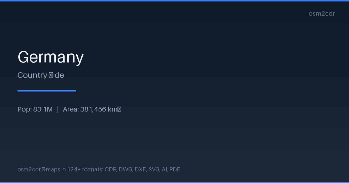
Map passport
Area381 456 km²
ProjectionWGS-84 (EPSG:4326)
LicenseODbL
Data sourceOpenStreetMap
About PostScript
PostScript is Adobe's page description language. Professional format for typographic printing and PostScript printers.
Use cases
- Typographic printing
- professional printers
- prepress
| Category | GIS |
| File extension | .ps |
| Tier | Free |
How to use PostScript for Germany
- Select the Germany map area on the main page
- Choose PostScript format and configure export settings
- Click Export and wait for processing
- Download the file and use in your application
Programs that open PostScript
GhostscriptAdobe AcrobatInkscapeScribusLaTeX