Map of Denmark in GeoJSON-Seq format
Muat turun peta Denmark dalam format GeoJSON-Seq. Data OpenStreetMap.
Penjanaan peta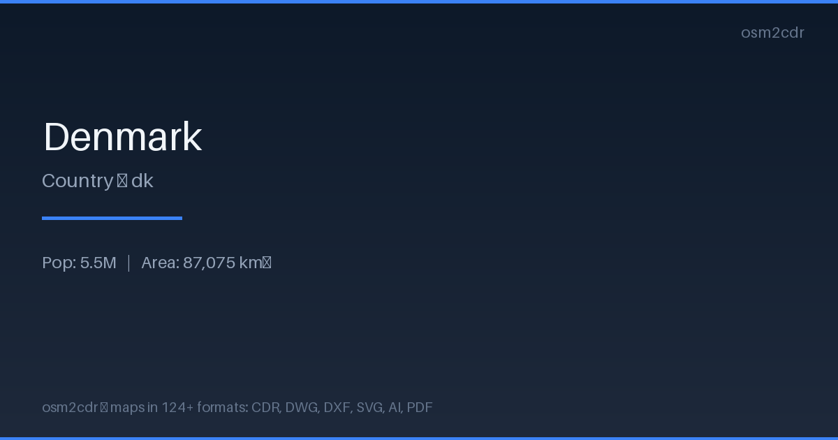
Map passport
Area87 075 km²
Buildings2 235 540
Roads156 226 km
Points of interest216 486
ProjectionWGS-84 (EPSG:4326)
LicenseODbL
Data sourceOpenStreetMap
Tentang GeoJSON-Seq
GeoJSON Sequences is a streaming GeoJSON format, one Feature per line. Ideal for Unix pipelines and large file processing.
Kes penggunaan
- Streaming processing
- ndjson pipelines
- tippecanoe
- geo event logging
| Kategori | GIS |
| Sambungan fail | .geojsonl |
| Tahap | Free |
What's in the GeoJSON-Seq map of Denmark
2,235,540 buildings (450,831 residential, 6,708 commercial, 7,240 industrial, 2,707 religious), 156,225.8 km of roads, 216,486 points of interest, 100 landmarks.
Mostly service roads 49,525.3 km, unclassified roads 31,996.2 km, residential streets 27,601.9 km.
Among the objects: parking — 58,223, parking_space — 24,981, bench — 23,230.
Main streets: Viborgvej, Hovedvejen, Hobrovej, Hovedvejen, Herningvej
Landmarks: Naturudstilling om Vadehavet, Frøken Fines Bonbonmuseum, Fejø Tekniske Museum, Hanne's Hus, Natur & Kultur formidlingscenter - Myrthuegård
How to use GeoJSON-Seq for Denmark
- Select the Denmark map area on the main page
- Choose GeoJSON-Seq format and configure export settings
- Click Export and wait for processing
- Download the file and use in your application
Programs that open GeoJSON-Seq
tippecanoefiojqGDAL/OGRndjson CLIPython (json lines)