Map of Denmark in COLLADA format
Preuzmite kartu Denmark u COLLADA formatu. OpenStreetMap podaci.
Generiranje karte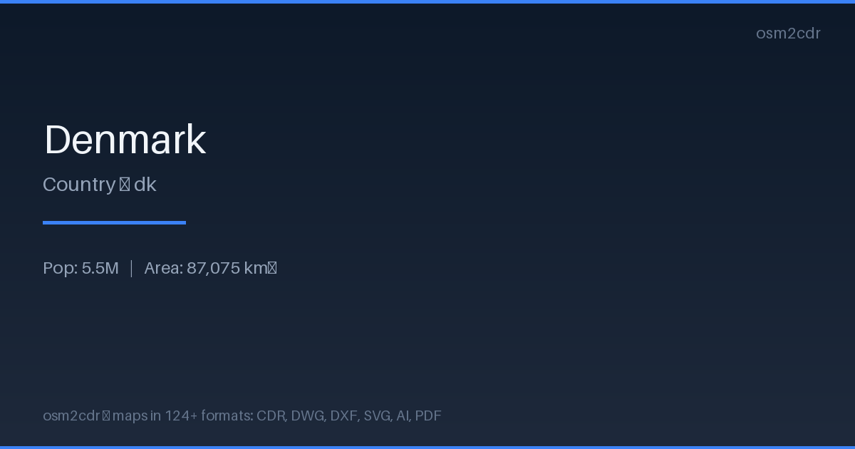
Map passport
Area87 075 km²
Buildings2 235 540
Roads156 226 km
Points of interest216 486
ProjectionWGS-84 (EPSG:4326)
LicenseODbL
Data sourceOpenStreetMap
O formatu COLLADA
COLLADA (COLLAborative Design Activity) is the Khronos open XML format for 3D asset exchange. ISO/PAS 17506 standard.
Slučajevi upotrebe
- 3D model exchange
- Google Earth
- architectural projects
- educational materials
| Kategorija | 3D |
| Ekstenzija datoteke | .dae |
| Razina | Free |
What's in the COLLADA map of Denmark
2,235,540 buildings (450,831 residential, 6,708 commercial, 7,240 industrial, 2,707 religious), 156,225.8 km of roads, 216,486 points of interest, 100 landmarks.
Mostly service roads 49,525.3 km, unclassified roads 31,996.2 km, residential streets 27,601.9 km.
Among the objects: parking — 58,223, parking_space — 24,981, bench — 23,230.
Main streets: Viborgvej, Hovedvejen, Hobrovej, Hovedvejen, Herningvej
Landmarks: Naturudstilling om Vadehavet, Frøken Fines Bonbonmuseum, Fejø Tekniske Museum, Hanne's Hus, Natur & Kultur formidlingscenter - Myrthuegård
How to use COLLADA for Denmark
- Select the Denmark map area on the main page
- Choose COLLADA format and configure export settings
- Click Export and wait for processing
- Download the file and use in your application
Programs that open COLLADA
BlenderSketchUpMaya3ds MaxGoogle EarthOpenSim