Mapa de Cuvette Department em formato JPEG
Baixe o mapa de Cuvette Department no formato JPEG. Dados OpenStreetMap.
Geração do mapa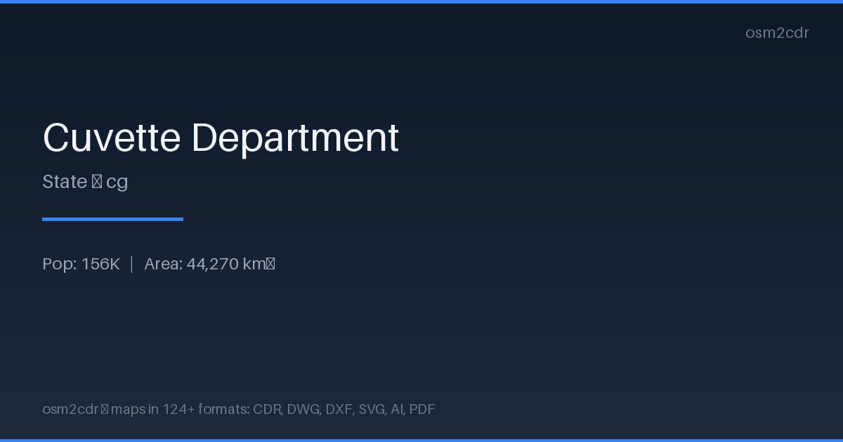
Map passport
Area44 270 km²
Buildings9 490
Roads2 744 km
Points of interest65
ProjectionWGS-84 (EPSG:4326)
LicenseODbL
Data sourceOpenStreetMap
Sobre JPEG
JPEG is a universal photo format with adjustable compression. Compact map file for documents and web publishing.
Casos de uso
- Web publishing
- social media
- presentations
- email newsletters
| Categoria | GIS |
| Extensão do arquivo | .jpg |
| Nível | Free |
What's in the JPEG map of Cuvette Department
9,490 buildings (9 residential), 2,744.2 km of roads, 65 points of interest, 6 landmarks.
Mostly unclassified roads 1,289.9 km, residential streets 425.5 km, tertiary roads 287.5 km.
Among the objects: atm — 17, attraction — 9, guest_house — 9.
Main streets: Route de l'Aéroport
Landmarks: Canyon Vert, Monument au point de passage de l'Equateur, Obélisque Mossaka, Eglise d'Owando, Église catholique
How to use JPEG for Cuvette Department
- Select the Cuvette Department map area on the main page
- Choose JPEG format and configure export settings
- Click Export and wait for processing
- Download the file and use in your application
Programs that open JPEG
All browsersPhotoshopGIMPany image viewer