Karta over Colombia i Shapefile-format
Ladda ner kartan över Colombia i Shapefile-format. OpenStreetMap-data.
Kartgenerering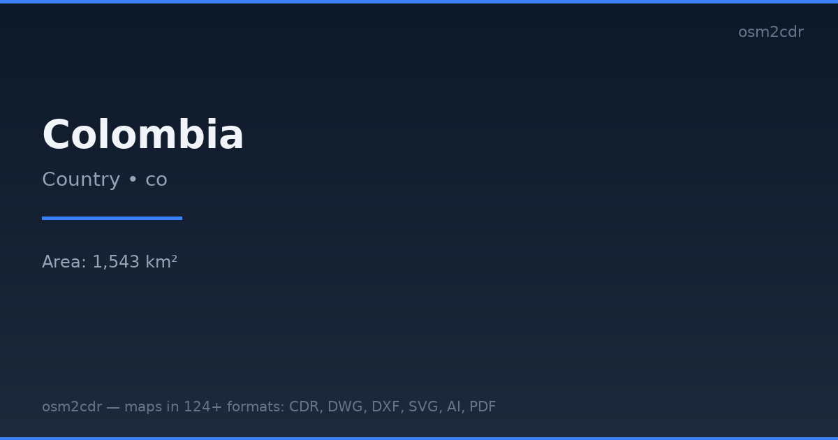
Map passport
Area1 543 km²
Buildings396 697
Roads349 624 km
Points of interest159 991
ProjectionWGS-84 (EPSG:4326)
LicenseODbL
Data sourceOpenStreetMap
Om Shapefile
Shapefile is the ESRI GIS format. De-facto standard for geodata exchange between GIS systems. A set of .shp, .dbf, .shx files.
Användningsfall
- ArcGIS
- QGIS
- spatial analysis
- cartography
- government GIS
| Kategori | GIS |
| Filändelse | .shp |
| Nivå | Free |
What's in the Shapefile map of Colombia
396,697 buildings (54,676 residential, 4,258 commercial, 2,739 industrial, 1,227 religious), 349,624.1 km of roads, 159,991 points of interest, 200 landmarks.
Mostly unclassified roads 177,837.8 km, residential streets 75,882.2 km, tertiary roads 30,966.6 km.
Among the objects: schools — 35,363, pitch — 18,986, restaurant — 14,318.
Main streets: Carrera 3, Carrera 4, Calle 4, Calle 3, Carrera 5
Landmarks: CIEA, Museo Floridablanca, Museo de la Caña de Azúcar, Museo de Mulaló, Museo de historia natural unillanos
How to use Shapefile for Colombia
- Select the Colombia map area on the main page
- Choose Shapefile format and configure export settings
- Click Export and wait for processing
- Download the file and use in your application
Programs that open Shapefile
ArcGIS ProQGISGDAL/OGRMapInfoGlobal MapperFME