Meta का PDF प्रारूप नक्शा
Meta का नक्शा PDF प्रारूप में डाउनलोड करें। OpenStreetMap डेटा।
जनरेशन में ~1-3 मिनट लगते हैं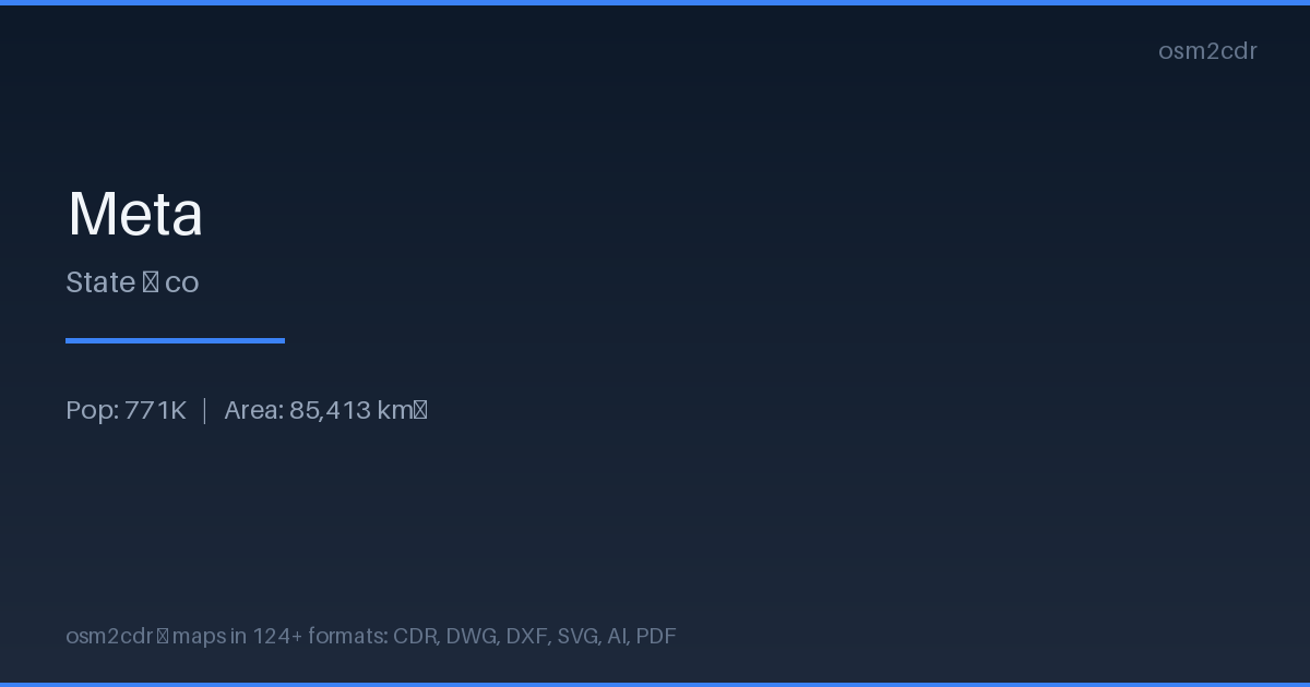
Map passport
PDF के बारे में
Universal document format for printing and sharing. A PDF map preserves fonts, colors, and vector graphics on any device without distortion.
उपयोग के मामले
- Map printing
- email sharing
- presentations
- commercial printing
- archiving
| श्रेणी | Vector |
| फ़ाइल एक्सटेंशन | .pdf |
| स्तर | Free |
What's in the PDF map of Meta
157,641 buildings (2,258 residential, 51 commercial, 218 industrial, 20 religious), 18,323.4 km of roads, 2,297 points of interest, 15 landmarks.
Mostly unclassified roads 11,493.8 km, residential streets 3,129.4 km, service roads 1,692.2 km.
Among the objects: schools — 1,093, restaurant — 184, hotels — 174.
Print-ready map with 157,641 buildings, 15 landmarks and 18,323.4 km of roads.
Main streets: San José del Guaviare - Villavicencio, La Cruz, Vía San Carlos de Guaroa, trazado de Marginal de la Selva, Vía Barranca de Upia - Cabuyaro
Landmarks: Museo de historia natural unillanos, MUSEO GUAYUPE, Casa de la memoria por la reconciliación y la Paz El Castillo Meta, PALACIO MUNICIPAL, Mirador
How to use PDF for Meta
- Select the Meta map area on the main page
- Choose PDF format and configure export settings
- Click Export and wait for processing
- Download the file and use in your application
Programs that open PDF
FAQ: PDF for Meta
Can I edit the map in PDF?
PDF preserves vector graphics, so you can open the file in Adobe Illustrator or Inkscape and edit individual elements.
What will the file size be?
Size depends on area and detail level. A city district is 1-5 MB, a whole city is 10-50 MB.