Mapa Colombia ve formatu DWF
Stáhněte mapu Colombia ve formátu DWF. Data OpenStreetMap.
Generování mapy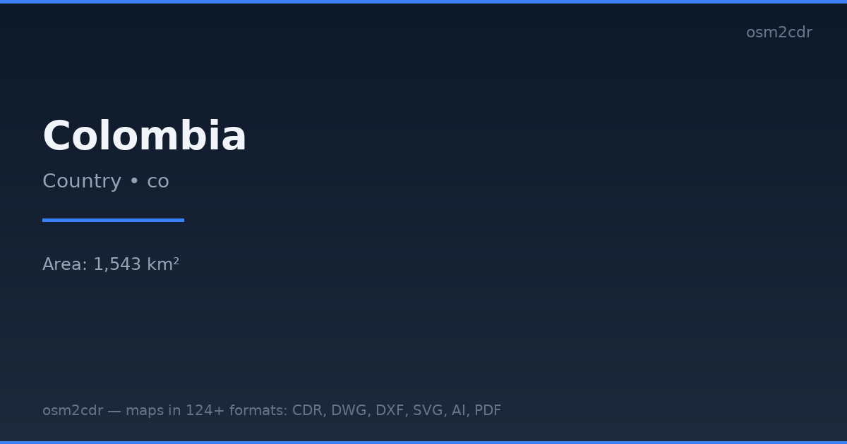
Map passport
Area1 543 km²
Buildings396 697
Roads349 624 km
Points of interest159 991
ProjectionWGS-84 (EPSG:4326)
LicenseODbL
Data sourceOpenStreetMap
O formátu DWF
DWF (Design Web Format) is an Autodesk format for viewing and reviewing drawings. More compact than DWG, optimized for publishing.
Využití
- Drawing publication
- review
- viewing without AutoCAD
- archiving
| Kategorie | GIS |
| Přípona souboru | .dwf |
| Úroveň | Free |
What's in the DWF map of Colombia
396,697 buildings (54,676 residential, 4,258 commercial, 2,739 industrial, 1,227 religious), 349,624.1 km of roads, 159,991 points of interest, 200 landmarks.
Mostly unclassified roads 177,837.8 km, residential streets 75,882.2 km, tertiary roads 30,966.6 km.
Among the objects: schools — 35,363, pitch — 18,986, restaurant — 14,318.
Main streets: Carrera 3, Carrera 4, Calle 4, Calle 3, Carrera 5
Landmarks: CIEA, Museo Floridablanca, Museo de la Caña de Azúcar, Museo de Mulaló, Museo de historia natural unillanos
How to use DWF for Colombia
- Select the Colombia map area on the main page
- Choose DWF format and configure export settings
- Click Export and wait for processing
- Download the file and use in your application
Programs that open DWF
Autodesk Design ReviewAutoCADNavisworksA360 Viewer