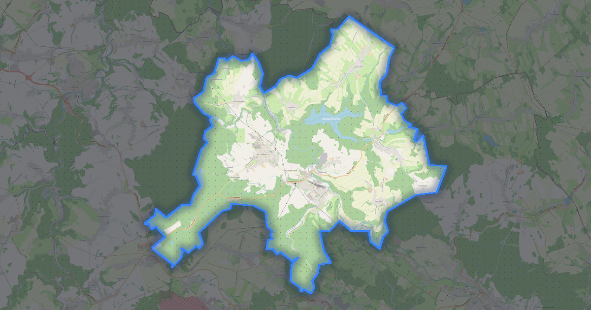
Machern OBJ 형식 지도
OpenStreetMap 데이터로 만든 지도, 다운로드 가능
지도 사용자 지정
이 장소의 영역을 구성기에서 열고 필요에 맞게 모든 것을 조정하세요
구성기에서 열기 →지도 여권

OBJ 정보
Machern의 지도를 OBJ 형식으로 — 선택한 영역의 실제 OpenStreetMap 데이터 내보내기입니다.
Wavefront OBJ is a universal 3D model format with material support. Buildings are exported with texture coordinates and groups by type.
파일에 포함된 레이어
선택한 영역의 이 파일에는 다음이 포함됩니다:
- 도로
- 건물
- 수역
- 녹지
- 관심 지점
좌표계
WGS 84(EPSG:4326), 마법사에서 선택 가능
호환성
단위
미터(선택한 좌표계로 투영)
| 카테고리 | 3D |
| 파일 확장자 | .obj |
| 등급 | Free |
What's in the OBJ map of Machern
4,762 buildings (1,708 residential, 7 commercial, 32 industrial, 4 religious), 131.6 km of roads, 275 points of interest, 18 landmarks.
The area covers 39 km², with about 122 buildings per km².
Mostly service roads 44.2 km, residential streets 40.8 km, primary roads 14.2 km.
21.5% of the area is green space.
The map marks 1 parks and 39 water bodies.
Key amenities: kindergartens — 4, attractions — 4, restaurants — 8.
Public transport: 14 bus stops, 4 tram stops, 2 rail stations.
3D scene with 4,762 buildings for Blender, Cinema 4D, and other 3D editors.
Main streets: Püchauer Straße, Wurzener Straße, Leipziger Straße, Rudolf-Breitscheid-Straße, Salzstraße
Landmarks: Museum im Stasi-Bunker, Schloß Püchau, Schloß Machern, Freilicht-Theater, Wilhelmsruhe
Machern에서 OBJ 사용 방법
- 메인 페이지에서 Machern 지도 영역을 선택하세요
- OBJ 형식을 선택하고 내보내기 설정을 조정하세요
- 「내보내기」를 클릭하고 처리가 완료될 때까지 기다리세요
- 완성된 파일을 다운로드하여 원하는 프로그램에서 사용하세요