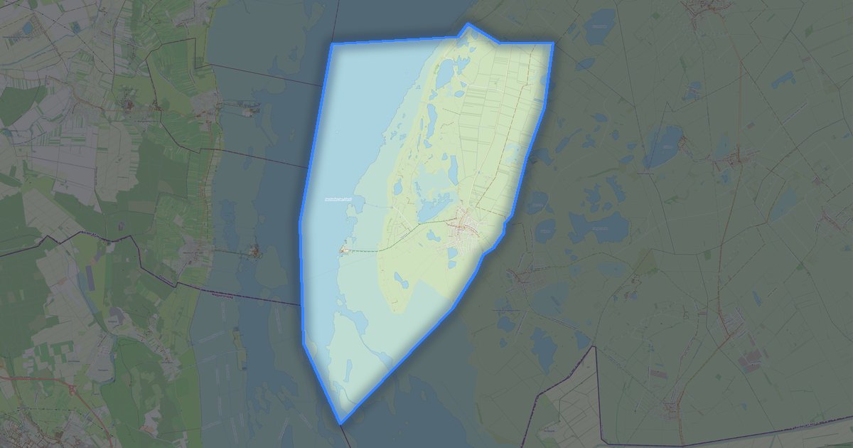
Map of Lockenhaus in G-code format
OpenStreetMap ડેટામાંથી બનેલો નકશો, ડાઉનલોડ માટે તૈયાર
નકશો કસ્ટમાઇઝ કરો
આ સ્થળનો વિસ્તાર કન્સ્ટ્રક્ટરમાં ખોલો અને બધું તમારી જરૂરિયાત પ્રમાણે ગોઠવો
કન્સ્ટ્રક્ટરમાં ખોલો →નકશા પાસપોર્ટ
આ નકશામાં મૂળભૂત રીતે શું છે
આ રીતે નકશો "જેવો છે તેવો" બને છે — દરેક સેટિંગ કન્સ્ટ્રક્ટરમાં બદલી શકાય છે.

G-code વિશે
Lockenhaus નો નકશો G-code માં — પસંદ કરેલા વિસ્તાર માટે વાસ્તવિક OpenStreetMap ડેટાની નિકાસ.
G-code is a CNC and laser engraver control language. Maps are converted to toolpaths for laser cutting or engraving.
ફાઇલમાં કયા સ્તરો છે
પસંદ કરેલા વિસ્તાર માટે આ ફાઇલમાં સમાવિષ્ટ છે:
- રસ્તાઓ
- ઇમારતો
- પાણી
- હરિયાળી
- રસપ્રદ સ્થળો
નિર્દેશાંક પ્રણાલી
WGS 84 (EPSG:4326), વિઝાર્ડમાં પસંદ કરી શકાય
સુસંગતતા
એકમો
મીટર (પસંદ કરેલી નિર્દેશાંક પ્રણાલીમાં પ્રક્ષેપિત)
| શ્રેણી | GIS |
| ફાઇલ એક્સટેન્શન | .gcode |
| સ્તર | મફત |
What's in the G-code map of Lockenhaus
2,411 buildings (50 residential, 2 industrial, 12 religious), 77.7 km of roads, 121 points of interest, 12 landmarks.
The area covers 59 km², with about 41 buildings per km².
Mostly residential streets 29.5 km, primary roads 26.8 km, service roads 7.0 km.
100% of the area is green space.
The map marks 12 water bodies.
Key amenities: supermarkets — 2, hotels — 2, fire stations — 3.
Public transport: 25 bus stops.
Main streets: Glashütterstraße, Hauptstraße, Bundesstraße, Wiener Straße, Augasse
Landmarks: Burg Lockenhaus, 500 Jahre Marktrecht, Pestsäule, Margarethenwarte, Filialkirche hl. Anna
Lockenhaus માટે G-code કેવી રીતે વાપરવું
- મુખ્ય પૃષ્ઠ પર Lockenhaus નકશા વિસ્તાર પસંદ કરો
- G-code ફોર્મેટ પસંદ કરો અને નિકાસ સેટિંગ્સ ગોઠવો
- નિકાસ પર ક્લિક કરો અને પ્રક્રિયાની રાહ જુઓ
- ફાઇલ ડાઉનલોડ કરો અને તમારી એપ્લિકેશનમાં વાપરો