FlorenceのOBJ形式マップ
OpenStreetMap データから作成された地図、ダウンロード可能
地図をカスタマイズ
この場所のエリアをコンストラクターで開き、目的に合わせてすべてを調整できます
コンストラクターで開く →地図パスポート
OBJについて
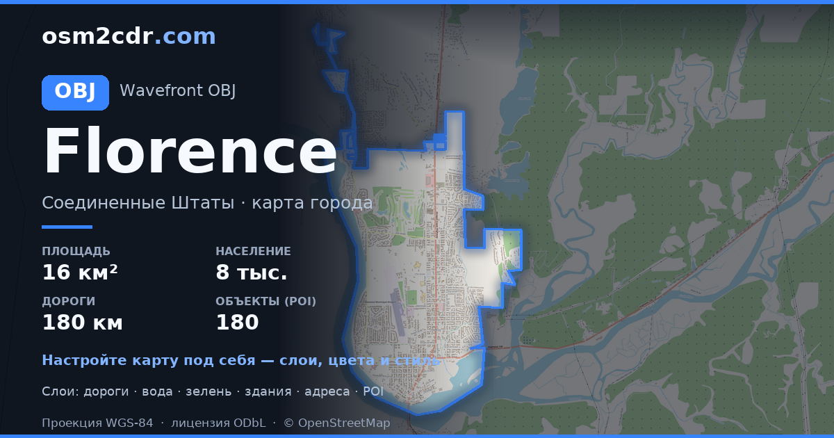
Florence の地図を OBJ 形式で — 選択したエリアの実際の OpenStreetMap データのエクスポートです。
Wavefront OBJ is a universal 3D model format with material support. Buildings are exported with texture coordinates and groups by type.
ファイルに含まれるレイヤー
選択したエリアのこのファイルには次が含まれます:
- 道路
- 建物
- 水域
- 緑地
- ポイント・オブ・インタレスト
座標系
WGS 84(EPSG:4326)、ウィザードで選択可能
互換性
単位
メートル(選択した座標系での投影)
| カテゴリ | 3D |
| ファイル拡張子 | .obj |
| レベル | Free |
What's in the OBJ map of Florence
5,169 buildings (59 residential, 34 commercial, 1 industrial, 2 religious), 180.9 km of roads, 180 points of interest, 12 landmarks.
Mostly residential streets 77.8 km, service roads 44.0 km, tertiary roads 29.2 km.
16.4% of the area is green space.
Key amenities: schools — 7, pharmacies — 4, convenience stores — 5.
3D scene with 5,169 buildings for Blender, Cinema 4D, and other 3D editors.
Main streets: North Fork Siuslaw Road, Kingwood Street, North Rhododendron Drive, Rhododendron Drive, Heceta Beach Road
Landmarks: Oregon Coast Military Museum, Siuslaw Pioneer Museum, C.R.O.W. Center for the Performing Arts, The River Gallery, The Laughing Crab Gallery & Tasting Room
Florence で OBJ を使う方法
- メインページで Florence の地図エリアを選択します
- OBJ 形式を選んでエクスポート設定を調整します
- 「エクスポート」をクリックして処理が完了するのを待ちます
- 完成したファイルをダウンロードして目的のプログラムで使用します


