Map of Czechia in PostScript format
Muat turun peta Czechia dalam format PostScript. Data OpenStreetMap.
Penjanaan peta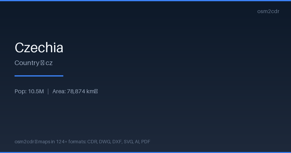
Map passport
Area78 874 km²
Roads155 460 km
Points of interest554 022
ProjectionWGS-84 (EPSG:4326)
LicenseODbL
Data sourceOpenStreetMap
Tentang PostScript
PostScript is Adobe's page description language. Professional format for typographic printing and PostScript printers.
Kes penggunaan
- Typographic printing
- professional printers
- prepress
| Kategori | GIS |
| Sambungan fail | .ps |
| Tahap | Free |
What's in the PostScript map of Czechia
155,459.8 km of roads, 554,022 points of interest, 100 landmarks.
Mostly residential streets 42,324.3 km, tertiary roads 36,008.0 km, service roads 34,360.4 km.
Among the objects: parking — 85,432, bench — 79,152, information — 69,848.
Main streets: Zahradní, Nádražní, Školní, Polní, Luční
Landmarks: Barokní lékárna u Bílého jednorožce, Muzeum věžáků, Ostravské muzeum, Galerie Klatovy, Sládečkovo Vlastivědné Muzeum
How to use PostScript for Czechia
- Select the Czechia map area on the main page
- Choose PostScript format and configure export settings
- Click Export and wait for processing
- Download the file and use in your application
Programs that open PostScript
GhostscriptAdobe AcrobatInkscapeScribusLaTeX