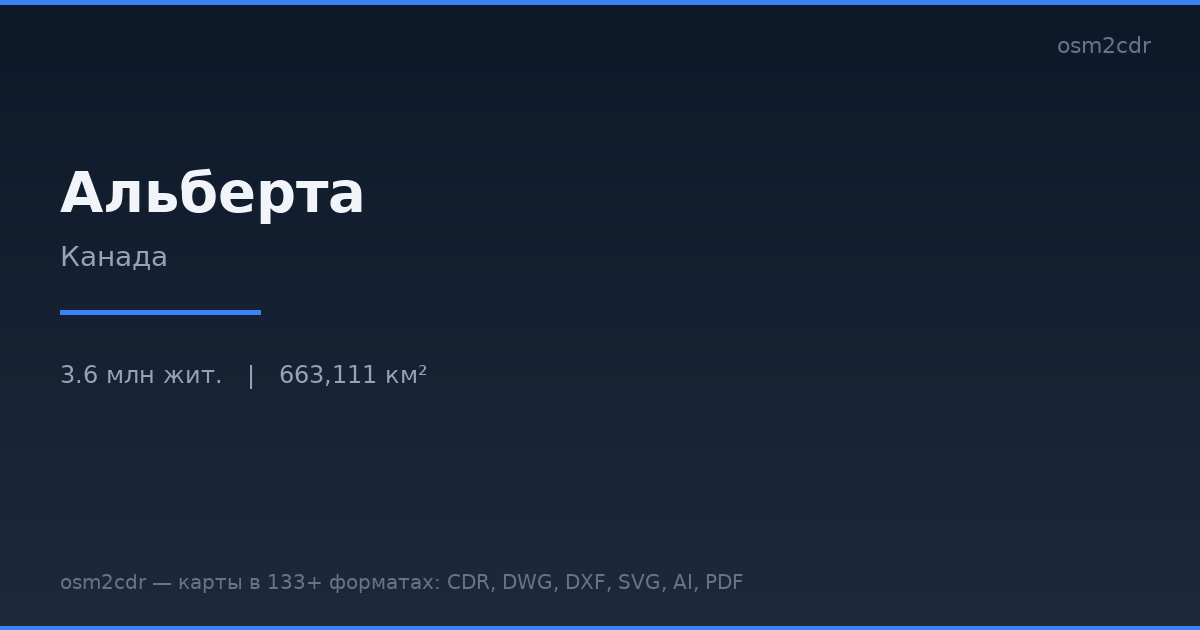
Karte von Alberta im G-code-Format
Karte aus OpenStreetMap-Daten, bereit zum Herunterladen
Karte anpassen
Bereich dieses Ortes im Konstruktor offnen und alles anpassen
Im Konstruktor offnen →Karten-Steckbrief
Was diese Karte standardmäßig enthält
So wird die Karte „wie sie ist“ zusammengestellt — jeder Parameter lässt sich im Konstruktor ändern.
Über G-code
Karte von Alberta im Format G-code — ein Export echter OpenStreetMap-Daten für den gewählten Bereich.
G-code is a CNC and laser engraver control language. Maps are converted to toolpaths for laser cutting or engraving.
Welche Ebenen die Datei enthält
Diese Datei enthält für den gewählten Bereich:
- Straßen
- Gebäude
- Wasser
- Grün
- Points of Interest
Koordinatensysteme
WGS 84 (EPSG:4326), im Assistenten wahlbar
Kompatibilität
Maßeinheiten
Meter (projiziert im gewählten Koordinatensystem)
| Kategorie | GIS |
| Dateierweiterung | .gcode |
| Tarif | Kostenlos |
What's in the G-code map of Alberta
1,305,065 buildings (455,815 residential, 10,524 commercial, 5,473 industrial, 558 religious), 277,774.2 km of roads, 36,276 points of interest, 15 landmarks.
The area covers 663,111 km², with about 2 buildings per km².
Mostly unclassified roads 166,460.6 km, service roads 30,150.5 km, tertiary roads 22,976.3 km.
The map marks 5 parks and 10 water bodies.
Key amenities: convenience stores — 480, restaurants — 2,441, cafes — 891.
Public transport: 14,841 bus stops, 179 tram stops, 58 metro stations, 102 rail stations.
Main streets: Buffalo Trail, Veterans Memorial Highway, Northern Woods & Water Route, Highway 88, Highway 881
Landmarks: Jasper Planetarium, Earth Sciences Museum, Oyen Crossroads Museum, Fox Creek Museum, Galloway Station Museum
So verwenden Sie G-code für Alberta
- Wählen Sie den Kartenbereich von Alberta auf der Hauptseite aus
- Wählen Sie das Format G-code und konfigurieren Sie die Exporteinstellungen
- Klicken Sie auf „Exportieren“ und warten Sie auf den Abschluss
- Laden Sie die fertige Datei herunter und verwenden Sie sie im gewünschten Programm


