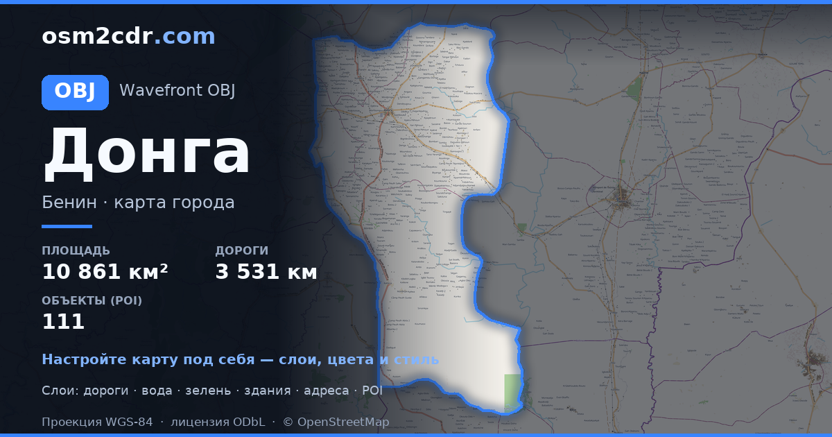
Map of Donga Department in OBJ format
A map built from OpenStreetMap data, ready to download
Customize the map
Open this place's area in the constructor and adjust everything to your needs
Open in constructor →Map passport
What this map contains by default
This is how the map is built as-is — every setting can be changed in the constructor.
Sobre OBJ
Map of Donga Department in OBJ — an export of real OpenStreetMap data for the selected area.
Wavefront OBJ is a universal 3D model format with material support. Buildings are exported with texture coordinates and groups by type.
Which layers are in the file
This file for the selected area contains:
- Roads
- Buildings
- Water
- Greenery
- Points of interest
Coordinate systems
WGS 84 (EPSG:4326), selectable in the wizard
Compatibility
Units
Meters (projected in the chosen coordinate system)
| Categoria | 3D |
| Extensió del fitxer | .obj |
| Nivell | Free |
What's in the OBJ map of Donga Department
42,957 buildings (335 residential, 3 commercial, 23 industrial, 3 religious), 3,531.3 km of roads, 111 points of interest, 15 landmarks.
Mostly unclassified roads 1,764.8 km, residential streets 675.3 km, tertiary roads 362.7 km.
0.9% of the area is green space.
Key amenities: schools — 19, pharmacies — 4, marketplaces — 7.
3D scene with 42,957 buildings for Blender, Cinema 4D, and other 3D editors.
Main streets: Route de Tchamba, Rue Agoungoulou, Tchamba - Prékété, Rue FOMOTOU, Rue de la Mairie
Landmarks: Palais royal de Djougou, GʊGʊ, GʊGʊ, GʊGʊ, GʊGʊ
How to use OBJ for Donga Department
- Select the Donga Department map area on the main page
- Choose OBJ format and configure export settings
- Click Export and wait for processing
- Download the file and use in your application


