BarbadosのEsri JSON形式マップ
Barbadosの地図をEsri JSON形式でダウンロード。OpenStreetMapデータ、即時生成。
生成には約1〜3分かかります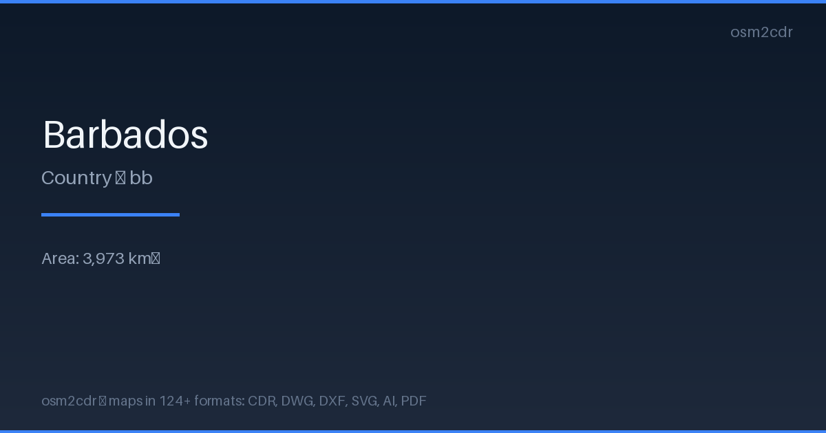
Map passport
Area3 973 km²
Buildings29 667
Roads2 896 km
Points of interest2 928
ProjectionWGS-84 (EPSG:4326)
LicenseODbL
Data sourceOpenStreetMap
Esri JSONについて
Esri JSON is the ArcGIS REST API format for geodata exchange. Used in ArcGIS Online, Portal, and all Esri services.
使用例
- ArcGIS Online
- ArcGIS Enterprise
- Esri web apps
- ArcGIS integration
| カテゴリ | GIS |
| ファイル拡張子 | .json |
| レベル | Free |
What's in the Esri JSON map of Barbados
29,667 buildings (1,262 residential, 195 commercial, 133 industrial, 55 religious), 2,895.7 km of roads, 2,928 points of interest, 50 landmarks.
Mostly residential streets 1,602.3 km, service roads 477.5 km, tertiary roads 242.0 km.
1.5% of the area is green space.
Among the objects: parking — 420, swimming_pool — 403, pitch — 308.
Main streets: Highway 3, Highway 2, Highway 5, Highway 4, Highway 1
Landmarks: Folkestone Marine Park and Museum, Gun Hill Signal Station, Concorde Experience, Nidhe Israel Museum, St. Nicholas Abbey
How to use Esri JSON for Barbados
- Select the Barbados map area on the main page
- Choose Esri JSON format and configure export settings
- Click Export and wait for processing
- Download the file and use in your application
Programs that open Esri JSON
ArcGIS ProArcGIS OnlineArcGIS JS APIEsri LeafletGDAL/OGR