Albay JPEG 형식 지도
Albay 지도를 JPEG 형식으로 다운로드하세요. OpenStreetMap 데이터.
생성 소요 시간 약 1-3분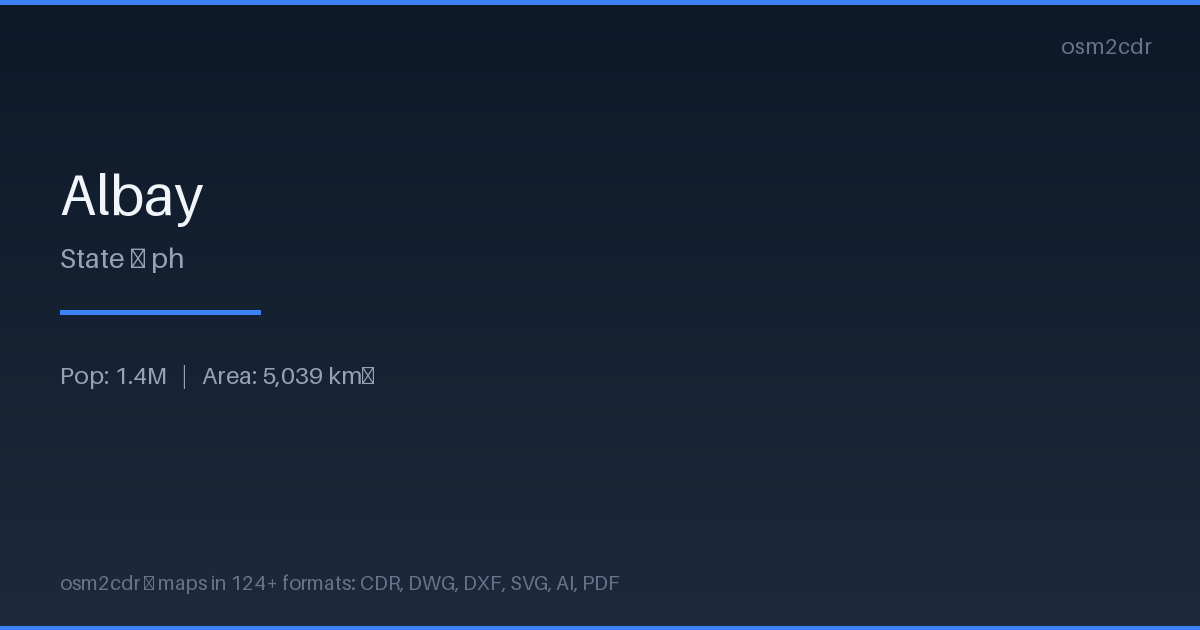
Map passport
Area5 039 km²
Buildings170 512
Roads3 490 km
Points of interest985
ProjectionWGS-84 (EPSG:4326)
LicenseODbL
Data sourceOpenStreetMap
JPEG 정보
JPEG is a universal photo format with adjustable compression. Compact map file for documents and web publishing.
사용 사례
- Web publishing
- social media
- presentations
- email newsletters
| 카테고리 | GIS |
| 파일 확장자 | .jpg |
| 등급 | Free |
What's in the JPEG map of Albay
170,512 buildings (12,827 residential, 282 commercial, 117 industrial, 137 religious), 3,489.8 km of roads, 985 points of interest, 15 landmarks.
Mostly residential streets 1,245.3 km, unclassified roads 859.2 km, tertiary roads 675.2 km.
4.5% of the area is green space.
Among the objects: restaurant — 117, parking — 97, hardware — 91.
Main streets: Pantao - Pio Duran Coastal Road, Legazpi City - Manito Road, Ligao - Tabaco Road, Albay West Coastal Road, Ligao-Pio Duran Road
Landmarks: Museo de Legazpi, Mina's Resort, hobbit hill, Hobbit Hill Ligao, Legazpi boulevard viewpoint
How to use JPEG for Albay
- Select the Albay map area on the main page
- Choose JPEG format and configure export settings
- Click Export and wait for processing
- Download the file and use in your application
Programs that open JPEG
All browsersPhotoshopGIMPany image viewer