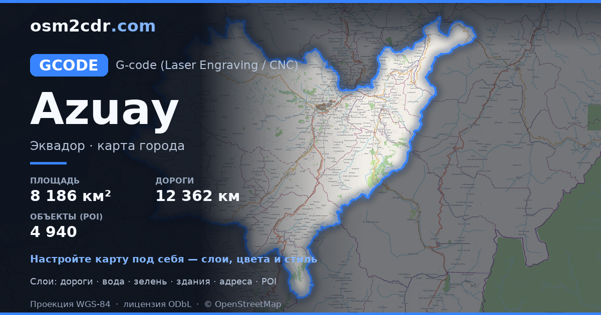
Azuay G-code 형식 지도
OpenStreetMap 데이터로 만든 지도, 다운로드 가능
지도 사용자 지정
이 장소의 영역을 구성기에서 열고 필요에 맞게 모든 것을 조정하세요
구성기에서 열기 →지도 여권
G-code 정보
Azuay의 지도를 G-code 형식으로 — 선택한 영역의 실제 OpenStreetMap 데이터 내보내기입니다.
G-code is a CNC and laser engraver control language. Maps are converted to toolpaths for laser cutting or engraving.
파일에 포함된 레이어
선택한 영역의 이 파일에는 다음이 포함됩니다:
- 도로
- 건물
- 수역
- 녹지
- 관심 지점
좌표계
WGS 84(EPSG:4326), 마법사에서 선택 가능
호환성
단위
미터(선택한 좌표계로 투영)
| 카테고리 | GIS |
| 파일 확장자 | .gcode |
| 등급 | Free |
What's in the G-code map of Azuay
64,254 buildings (9,581 residential, 87 commercial, 70 industrial, 106 religious), 12,362.0 km of roads, 4,940 points of interest, 15 landmarks.
Mostly unclassified roads 5,116.3 km, residential streets 3,514.4 km, tertiary roads 1,379.3 km.
Key amenities: schools — 215, pharmacies — 337, dentists — 95.
Main streets: Vía Cuenca - Molleturo - Puerto Inca, Carretera Cuenca - Machala, Vía a Pucará, Carretera Shumiral - Pucará, Via Saraguro - Yacuambi
Landmarks: Museo Pumapungo, Museo de la Moneda, Museo del Sombrero "Homero Ortega", Casa Museo de la Makana, Centro de Interpretacion La Toreadora
Azuay에서 G-code 사용 방법
- 메인 페이지에서 Azuay 지도 영역을 선택하세요
- G-code 형식을 선택하고 내보내기 설정을 조정하세요
- 「내보내기」를 클릭하고 처리가 완료될 때까지 기다리세요
- 완성된 파일을 다운로드하여 원하는 프로그램에서 사용하세요


