OleanのG-code形式マップ
OpenStreetMap データから作成された地図、ダウンロード可能
地図をカスタマイズ
この場所のエリアをコンストラクターで開き、目的に合わせてすべてを調整できます
コンストラクターで開く →地図パスポート
G-codeについて
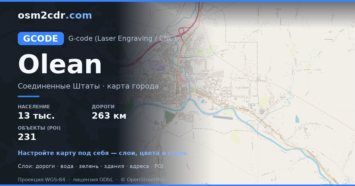
Olean の地図を G-code 形式で — 選択したエリアの実際の OpenStreetMap データのエクスポートです。
G-code is a CNC and laser engraver control language. Maps are converted to toolpaths for laser cutting or engraving.
ファイルに含まれるレイヤー
選択したエリアのこのファイルには次が含まれます:
- 道路
- 建物
- 水域
- 緑地
- ポイント・オブ・インタレスト
座標系
WGS 84(EPSG:4326)、ウィザードで選択可能
互換性
単位
メートル(選択した座標系での投影)
| カテゴリ | GIS |
| ファイル拡張子 | .gcode |
| レベル | Free |
What's in the G-code map of Olean
7,062 buildings (10 residential, 18 commercial, 2 industrial, 3 religious), 263.2 km of roads, 231 points of interest, 30 landmarks.
Mostly residential streets 146.2 km, service roads 49.5 km, primary roads 22.3 km.
52.2% of the area is green space.
Key amenities: schools — 9, supermarkets — 3, hotels — 3.
Main streets: State Highway 16, State Highway 16 South, East River Road, North Union Street, West River Road
Landmarks: Cutco Theater, Calvary Baptist Church, Church of the Nazarene, Bethel Baptist Church, Foursquare Gospel Church
Olean で G-code を使う方法
- メインページで Olean の地図エリアを選択します
- G-code 形式を選んでエクスポート設定を調整します
- 「エクスポート」をクリックして処理が完了するのを待ちます
- 完成したファイルをダウンロードして目的のプログラムで使用します


