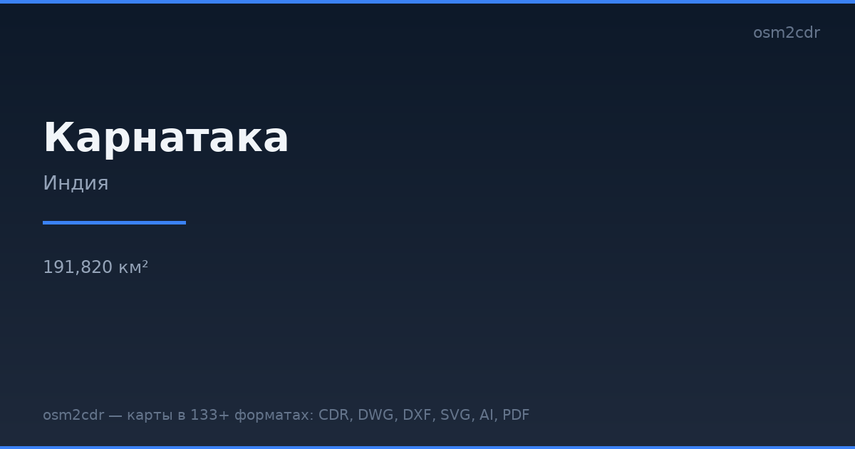
KarnatakaのG-code形式マップ
OpenStreetMap データから作成された地図、ダウンロード可能
地図をカスタマイズ
この場所のエリアをコンストラクターで開き、目的に合わせてすべてを調整できます
コンストラクターで開く →地図パスポート
G-codeについて
Karnataka の地図を G-code 形式で — 選択したエリアの実際の OpenStreetMap データのエクスポートです。
G-code is a CNC and laser engraver control language. Maps are converted to toolpaths for laser cutting or engraving.
ファイルに含まれるレイヤー
選択したエリアのこのファイルには次が含まれます:
- 道路
- 建物
- 水域
- 緑地
- ポイント・オブ・インタレスト
座標系
WGS 84(EPSG:4326)、ウィザードで選択可能
互換性
単位
メートル(選択した座標系での投影)
| カテゴリ | GIS |
| ファイル拡張子 | .gcode |
| レベル | 無料 |
What's in the G-code map of Karnataka
1,031,887 buildings (33,959 residential, 5,017 commercial, 3,776 industrial, 426 religious), 259,232.2 km of roads, 35,408 points of interest, 15 landmarks.
The area covers 191,820 km², with about 5 buildings per km².
Mostly tertiary roads 81,563.5 km, residential streets 76,065.7 km, unclassified roads 42,744.9 km.
The map marks 5 parks and 9 water bodies.
Key amenities: colleges — 724, schools — 2,383, hospitals — 3,032.
Public transport: 5,624 bus stops, 269 tram stops, 236 metro stations, 551 rail stations.
Main streets: 2nd Cross Road, 1st Cross Road, 3rd Cross Road, 1st Main Road, 4th Cross Road
Landmarks: Museum of Memories, Rezwan Razack Museum of Indian Paper Money, NIMHANS Brain Museum, Sandesha Museum of Communication, Short Wave Radio Museum
Karnataka で G-code を使う方法
- メインページで Karnataka の地図エリアを選択します
- G-code 形式を選んでエクスポート設定を調整します
- 「エクスポート」をクリックして処理が完了するのを待ちます
- 完成したファイルをダウンロードして目的のプログラムで使用します


