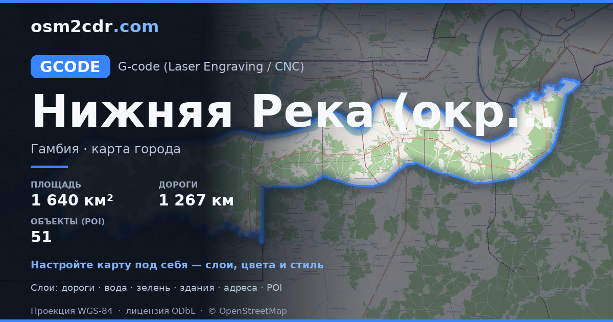
Lower River DivisionのG-code形式マップ
OpenStreetMap データから作成された地図、ダウンロード可能
地図をカスタマイズ
この場所のエリアをコンストラクターで開き、目的に合わせてすべてを調整できます
コンストラクターで開く →地図パスポート
G-codeについて
Lower River Division の地図を G-code 形式で — 選択したエリアの実際の OpenStreetMap データのエクスポートです。
G-code is a CNC and laser engraver control language. Maps are converted to toolpaths for laser cutting or engraving.
ファイルに含まれるレイヤー
選択したエリアのこのファイルには次が含まれます:
- 道路
- 建物
- 水域
- 緑地
- ポイント・オブ・インタレスト
座標系
WGS 84(EPSG:4326)、ウィザードで選択可能
互換性
単位
メートル(選択した座標系での投影)
| カテゴリ | GIS |
| ファイル拡張子 | .gcode |
| レベル | Free |
What's in the G-code map of Lower River Division
12,459 buildings (9,909 residential, 71 commercial, 1 religious), 1,267.8 km of roads, 51 points of interest, 5 landmarks.
Mostly unclassified roads 837.8 km, residential streets 232.9 km, trunk roads 110.8 km.
24.1% of the area is green space.
Key amenities: schools — 11, clinics — 2, pharmacies — 1.
Main streets: Juta Kunda Road, Soma Mansakonko Road, Koma Silo, Old Trans-Gambia Highway, Daa Seereti
Landmarks: Kiang National Forest, Dumbuto Community Forest, pipeline mosque, Mosque, soma major mosque
Lower River Division で G-code を使う方法
- メインページで Lower River Division の地図エリアを選択します
- G-code 形式を選んでエクスポート設定を調整します
- 「エクスポート」をクリックして処理が完了するのを待ちます
- 完成したファイルをダウンロードして目的のプログラムで使用します


