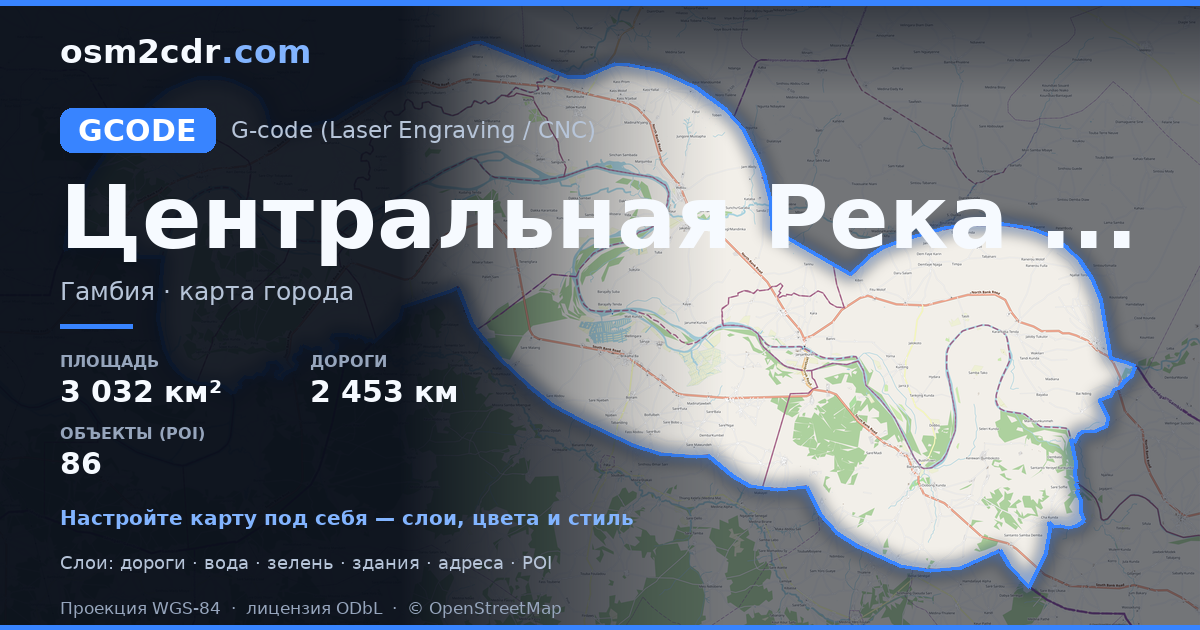
Central River DivisionのG-code形式マップ
OpenStreetMap データから作成された地図、ダウンロード可能
地図をカスタマイズ
この場所のエリアをコンストラクターで開き、目的に合わせてすべてを調整できます
コンストラクターで開く →地図パスポート
G-codeについて
Central River Division の地図を G-code 形式で — 選択したエリアの実際の OpenStreetMap データのエクスポートです。
G-code is a CNC and laser engraver control language. Maps are converted to toolpaths for laser cutting or engraving.
ファイルに含まれるレイヤー
選択したエリアのこのファイルには次が含まれます:
- 道路
- 建物
- 水域
- 緑地
- ポイント・オブ・インタレスト
座標系
WGS 84(EPSG:4326)、ウィザードで選択可能
互換性
単位
メートル(選択した座標系での投影)
| カテゴリ | GIS |
| ファイル拡張子 | .gcode |
| レベル | 無料 |
What's in the G-code map of Central River Division
33,962 buildings (30,052 residential, 2 religious), 2,453.2 km of roads, 86 points of interest, 4 landmarks.
The area covers 3,032 km², with about 11 buildings per km².
Mostly unclassified roads 1,537.3 km, residential streets 441.3 km, trunk roads 288.8 km.
9.7% of the area is green space.
The map marks 5 parks and 6 water bodies.
Key amenities: schools — 20, hospitals — 2, marketplaces — 2.
Public transport: 13 bus stops.
Main streets: Janjanbureh Road, John Street
Landmarks: Embarquement Chimpanzees & Hippos, Stone circles, Epic view of Gambia river, heard a Hippo, didn’t see it…, Wassu Stone Circles Quarry Site
Central River Division で G-code を使う方法
- メインページで Central River Division の地図エリアを選択します
- G-code 形式を選んでエクスポート設定を調整します
- 「エクスポート」をクリックして処理が完了するのを待ちます
- 完成したファイルをダウンロードして目的のプログラムで使用します


