CzechiaのKML形式マップ
Czechiaの地図をKML形式でダウンロード。OpenStreetMapデータ、即時生成。
生成には約1〜3分かかります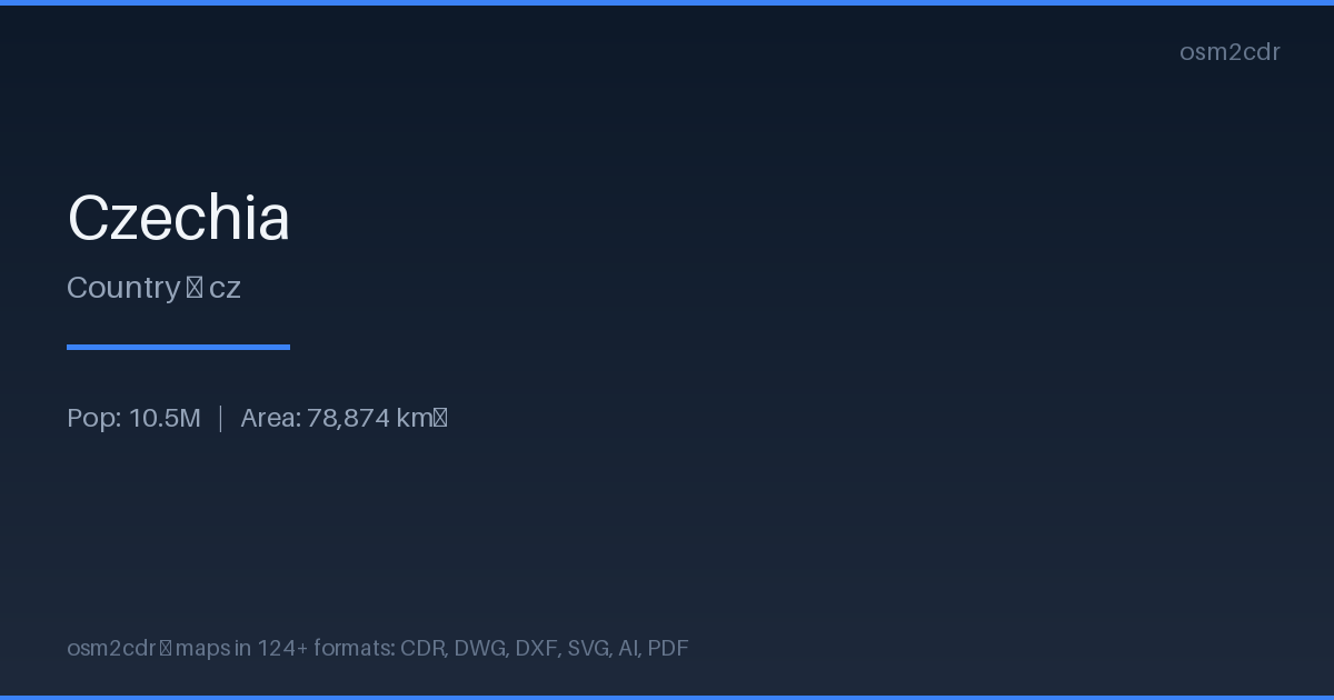
Map passport
Area78 874 km²
Roads155 460 km
Points of interest554 022
ProjectionWGS-84 (EPSG:4326)
LicenseODbL
Data sourceOpenStreetMap
KMLについて
Keyhole Markup Language — an XML geodata format for Google Earth and Google Maps. Supports styles, icons, descriptions, and 3D views for vivid map visualization.
使用例
- Viewing in Google Earth
- geodata sharing
- creating tourist routes
- presentations
| カテゴリ | GIS |
| ファイル拡張子 | .kml |
| レベル | Free |
What's in the KML map of Czechia
155,459.8 km of roads, 554,022 points of interest, 100 landmarks.
Mostly residential streets 42,324.3 km, tertiary roads 36,008.0 km, service roads 34,360.4 km.
Among the objects: parking — 85,432, bench — 79,152, information — 69,848.
Main streets: Zahradní, Nádražní, Školní, Polní, Luční
Landmarks: Barokní lékárna u Bílého jednorožce, Muzeum věžáků, Ostravské muzeum, Galerie Klatovy, Sládečkovo Vlastivědné Muzeum
How to use KML for Czechia
- Select the Czechia map area on the main page
- Choose KML format and configure export settings
- Click Export and wait for processing
- Download the file and use in your application
Programs that open KML
Google EarthGoogle MapsQGISArcGISGPS Visualizer
FAQ: KML for Czechia
How to open KML in Google Earth?
Download the file and double-click it — Google Earth will open it automatically. Or drag the file into the program window.