CzechiaのGeoJSON形式マップ
Czechiaの地図をGeoJSON形式でダウンロード。OpenStreetMapデータ、即時生成。
生成には約1〜3分かかります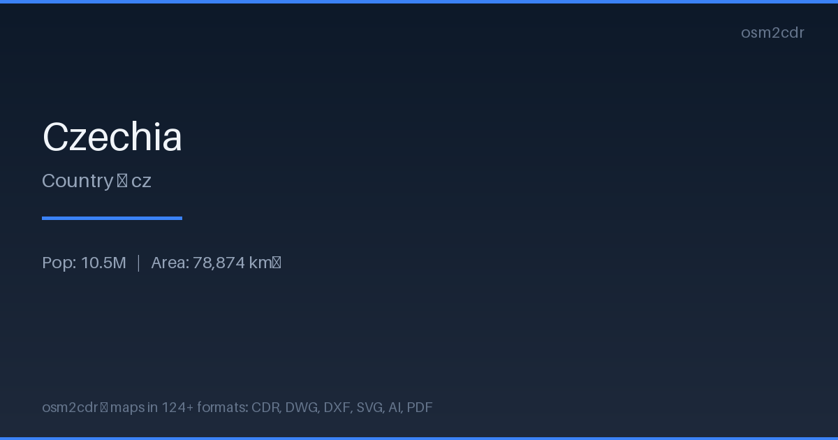
Map passport
GeoJSONについて
Open text-based geodata format built on JSON. Widely supported by web mapping libraries, human-readable and easy to process with scripts.
使用例
- Web mapping
- geodata exchange via API
- Leaflet/Mapbox visualization
- analytics
| カテゴリ | GIS |
| ファイル拡張子 | .geojson |
| レベル | Free |
What's in the GeoJSON map of Czechia
155,459.8 km of roads, 554,022 points of interest, 100 landmarks.
Mostly residential streets 42,324.3 km, tertiary roads 36,008.0 km, service roads 34,360.4 km.
Among the objects: parking — 85,432, bench — 79,152, information — 69,848.
Main streets: Zahradní, Nádražní, Školní, Polní, Luční
Landmarks: Barokní lékárna u Bílého jednorožce, Muzeum věžáků, Ostravské muzeum, Galerie Klatovy, Sládečkovo Vlastivědné Muzeum
How to use GeoJSON for Czechia
- Select the Czechia area on the map
- Export to GeoJSON
- Load into QGIS, Mapbox Studio, or kepler.gl
- Use for analysis, filtering, and visualization
Programs that open GeoJSON
FAQ: GeoJSON for Czechia
How to open GeoJSON?
GeoJSON opens in QGIS, geojson.io, Mapbox Studio, kepler.gl, or any text editor — it's just JSON.
Is GeoJSON suitable for large areas?
For large areas, GeoPackage or FlatGeobuf is better — they're more compact and load faster.