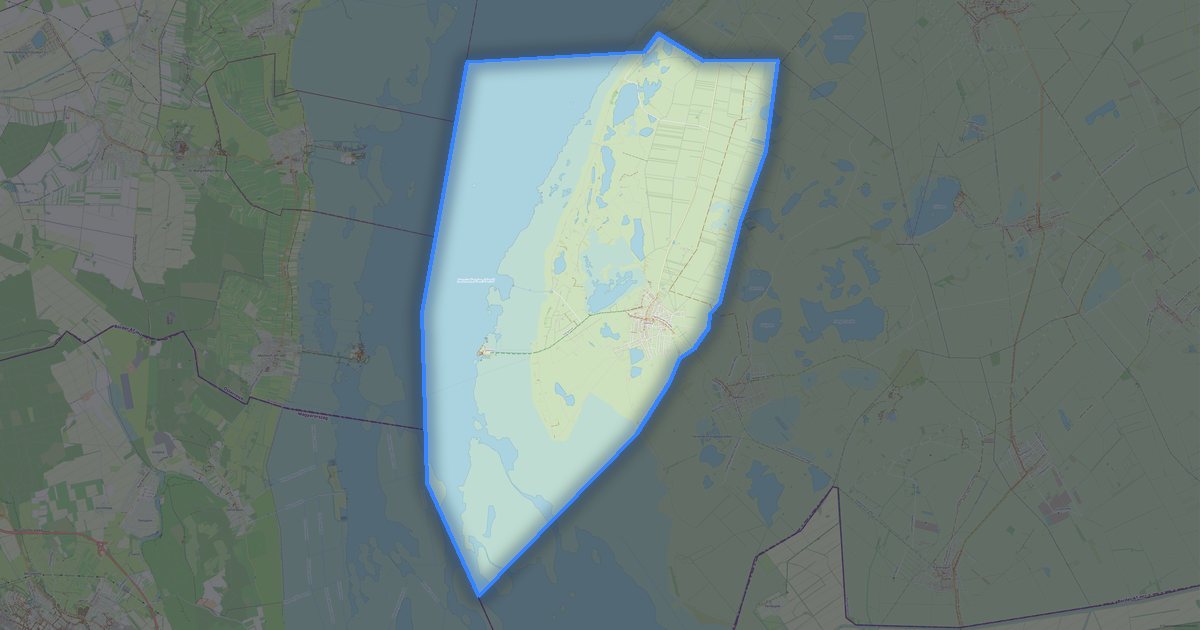
Map of Oslip in GDAL VRT format
Peta yang dibangun dari data OpenStreetMap, siap diunduh
Sesuaikan peta untuk Anda
Buka area tempat ini di konstruktor dan sesuaikan semuanya dengan kebutuhan Anda
Buka di konstruktor →Informasi peta
Apa isi peta ini secara default
Beginilah peta dibangun «apa adanya» — setiap pengaturan dapat diubah di konstruktor.
.vrt
Tentang GDAL VRT
Peta Oslip dalam format GDAL VRT — ekspor data OpenStreetMap nyata untuk area yang dipilih.
VRT (Virtual Raster) is a GDAL virtual dataset. An XML description referencing real files without copying data.
Lapisan apa saja yang ada di file
File ini untuk area yang dipilih berisi:
- Jalan
- Bangunan
- Air
- Penghijauan
- Titik menarik
Sistem koordinat
WGS 84 (EPSG:4326), dapat dipilih di wizard
Kompatibilitas
Satuan ukuran
Meter (diproyeksikan dalam sistem koordinat yang dipilih)
| Kategori | GIS |
| Ekstensi file | .vrt |
| Tingkat | Gratis |
What's in the GDAL VRT map of Oslip
1,072 buildings (39 residential, 5 commercial, 1 industrial, 2 religious), 39.6 km of roads, 87 points of interest, 9 landmarks.
The area covers 18 km², with about 60 buildings per km².
Mostly residential streets 11.8 km, secondary roads 9.6 km, unclassified roads 9.4 km.
100% of the area is green space.
The map marks 3 water bodies.
Key amenities: town halls — 1, banks — 1, restaurants — 3.
Public transport: 8 bus stops.
Main streets: Bundesstraße, Ödenburgerstraße, Eisenstädter Straße, Sachsenweg, Sportplatzgasse
Landmarks: Silberberg, ehemaliges Försterhaus "Stummer Jäger", Lourdeskapelle, Weißes Kreuz, Herz-Jesu-Kapelle
Cara menggunakan GDAL VRT untuk Oslip
- Pilih area peta Oslip di halaman utama
- Pilih format GDAL VRT dan atur opsi ekspor
- Klik «Ekspor» dan tunggu hingga selesai
- Unduh file yang sudah siap dan gunakan di aplikasi Anda