
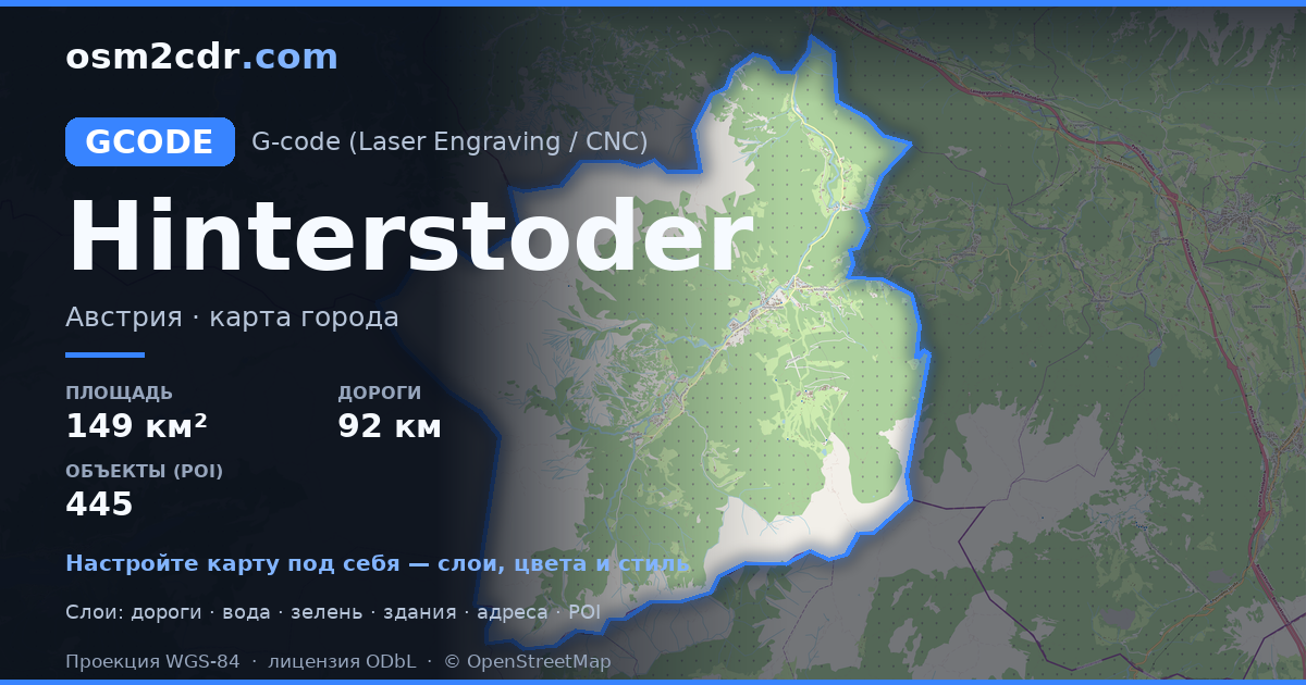
Map of Hinterstoder in G-code format
Peta yang dibangun dari data OpenStreetMap, siap diunduh
Sesuaikan peta untuk Anda
Buka area tempat ini di konstruktor dan sesuaikan semuanya dengan kebutuhan Anda
Buka di konstruktor →Informasi peta
Apa isi peta ini secara default
Beginilah peta dibangun «apa adanya» — setiap pengaturan dapat diubah di konstruktor.
Tentang G-code
Peta Hinterstoder dalam format G-code — ekspor data OpenStreetMap nyata untuk area yang dipilih.
G-code is a CNC and laser engraver control language. Maps are converted to toolpaths for laser cutting or engraving.
Lapisan apa saja yang ada di file
File ini untuk area yang dipilih berisi:
- Jalan
- Bangunan
- Air
- Penghijauan
- Titik menarik
Sistem koordinat
WGS 84 (EPSG:4326), dapat dipilih di wizard
Kompatibilitas
Satuan ukuran
Meter (diproyeksikan dalam sistem koordinat yang dipilih)
| Kategori | GIS |
| Ekstensi file | .gcode |
| Tingkat | Gratis |
What's in the G-code map of Hinterstoder
1,550 buildings (24 residential, 1 commercial, 4 religious), 92.8 km of roads, 445 points of interest, 18 landmarks.
The area covers 149 km², with about 10 buildings per km².
Mostly residential streets 37.1 km, service roads 30.5 km, secondary roads 18.7 km.
100% of the area is green space.
The map marks 1 parks and 23 water bodies.
Key amenities: attractions — 4, hotels — 21, restaurants — 19.
Public transport: 42 bus stops.
Main streets: Fröstlweg, Weißenbachtal, Hinterberg, Karlbauerweg, Prielerweg
Landmarks: Alpineum, Kneippanlage, Kreidelucke, Absturzstelle JU52, Schrott vom Flugzeugabsturz der JU52
Cara menggunakan G-code untuk Hinterstoder
- Pilih area peta Hinterstoder di halaman utama
- Pilih format G-code dan atur opsi ekspor
- Klik «Ekspor» dan tunggu hingga selesai
- Unduh file yang sudah siap dan gunakan di aplikasi Anda


