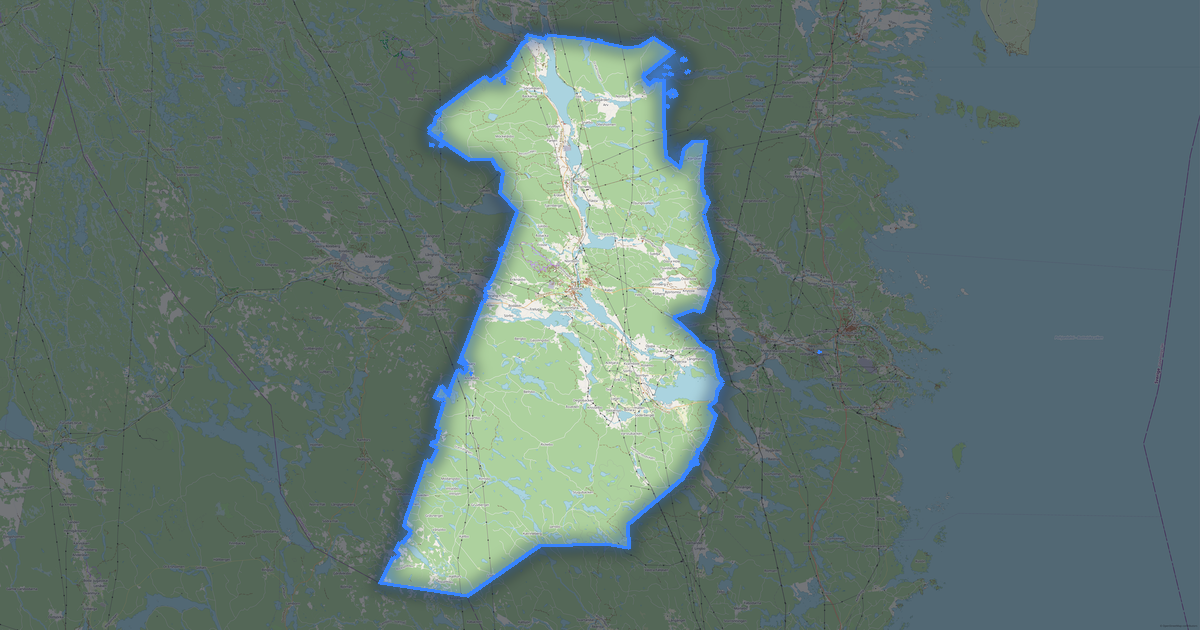
Map of Söderhamn in Locus Map format
OpenStreetMap ડેટામાંથી બનેલો નકશો, ડાઉનલોડ માટે તૈયાર
નકશો કસ્ટમાઇઝ કરો
આ સ્થળનો વિસ્તાર કન્સ્ટ્રક્ટરમાં ખોલો અને બધું તમારી જરૂરિયાત પ્રમાણે ગોઠવો
કન્સ્ટ્રક્ટરમાં ખોલો →નકશા પાસપોર્ટ
આ નકશામાં મૂળભૂત રીતે શું છે
આ રીતે નકશો "જેવો છે તેવો" બને છે — દરેક સેટિંગ કન્સ્ટ્રક્ટરમાં બદલી શકાય છે.

Locus Map વિશે
Söderhamn નો નકશો Locus Map માં — પસંદ કરેલા વિસ્તાર માટે વાસ્તવિક OpenStreetMap ડેટાની નિકાસ.
Locus Map SQLiteDB is the offline map format for the Locus Map Android app. Raster tiles in SQLite with metadata.
ફાઇલમાં કયા સ્તરો છે
પસંદ કરેલા વિસ્તાર માટે આ ફાઇલમાં સમાવિષ્ટ છે:
- રસ્તાઓ
- ઇમારતો
- પાણી
- હરિયાળી
- રસપ્રદ સ્થળો
નિર્દેશાંક પ્રણાલી
WGS 84 (EPSG:4326), વિઝાર્ડમાં પસંદ કરી શકાય
સુસંગતતા
એકમો
મીટર (પસંદ કરેલી નિર્દેશાંક પ્રણાલીમાં પ્રક્ષેપિત)
| શ્રેણી | GIS |
| ફાઇલ એક્સટેન્શન | .sqlitedb |
| સ્તર | Open Beta |
What's in the Locus Map map of Söderhamn
3,230 buildings (1,445 residential, 5 commercial, 3 industrial, 3 religious), 227.4 km of roads, 615 points of interest, 8 landmarks.
The area covers 2,299 km², with about 1 buildings per km².
Mostly residential streets 69.7 km, unclassified roads 42.7 km, service roads 38.9 km.
100% of the area is green space.
The map marks 28 parks and 8 water bodies.
Key amenities: schools — 7, supermarkets — 6, restaurants — 30.
Public transport: 34 bus stops, 2 tram stops, 1 rail stations.
Main streets: Flygvägen, Södra Tvärleden, Gamla Sandarnevägen, Granvägen, Södra Tvärleden
Landmarks: Söderhamns museum, Fiskaremuséet Gäddan, Söderhamn/F15 Flygmuseum, Pulka Backe, Oskarsborg
Söderhamn માટે Locus Map કેવી રીતે વાપરવું
- મુખ્ય પૃષ્ઠ પર Söderhamn નકશા વિસ્તાર પસંદ કરો
- Locus Map ફોર્મેટ પસંદ કરો અને નિકાસ સેટિંગ્સ ગોઠવો
- નિકાસ પર ક્લિક કરો અને પ્રક્રિયાની રાહ જુઓ
- ફાઇલ ડાઉનલોડ કરો અને તમારી એપ્લિકેશનમાં વાપરો