Carte de Sodinga au format Shapefile
A map built from OpenStreetMap data, ready to download

Personnalisez la carte
Ouvrez la zone de ce lieu dans le constructeur et ajustez tout
Ouvrir dans le constructeur →Fiche de la carte
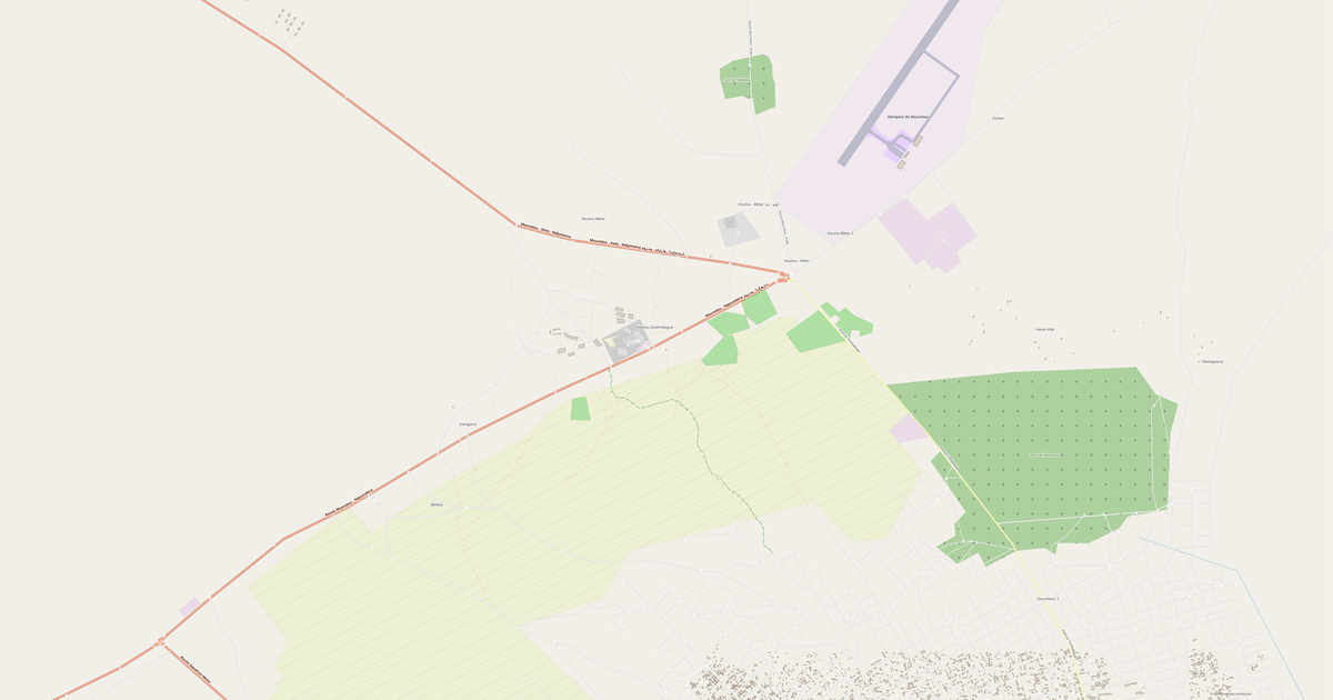
Superficie2.0 km²
Routes19 km
What this map contains by default
This is how the map is built as-is — every setting can be changed in the constructor.
À propos de Shapefile
Map of Sodinga in Shapefile — an export of real OpenStreetMap data for the selected area.
Shapefile — ESRI GIS format. De-facto standard for geodata exchange between GIS systems.
Which layers are in the file
This file for the selected area contains:
- Roads
- Water
Coordinate systems
WGS 84 (EPSG:4326), au choix dans l'assistant
Units
Meters (projected in the chosen coordinate system)
| Catégorie | SIG |
| Extension de fichier | .shp |
| Niveau | Free |
What's in the Shapefile map of Sodinga
19.0 km of roads.
Mostly trunk roads 19.0 km.
How to use Shapefile for Sodinga
- Select the Sodinga map area on the main page
- Choose Shapefile format and configure export settings
- Click Export and wait for processing
- Download the file and use in your application
FAQ: Shapefile for Sodinga
Why does Shapefile consist of multiple files?
Shapefile is a set of .shp, .shx, .dbf, and .prj files. We package them into a ZIP archive for convenient downloading.