Map of Norway in CDR format
Lataa Norway kartta CDR-muodossa. OpenStreetMap-data.
Kartan luominen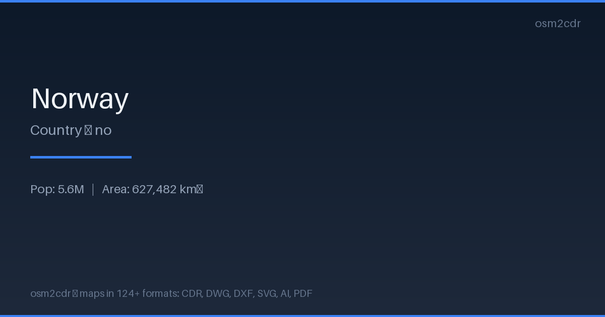
Map passport
Area627 482 km²
ProjectionWGS-84 (EPSG:4326)
LicenseODbL
Data sourceOpenStreetMap
Tietoja: CDR
Native CorelDRAW format — a popular vector graphics editor. Preserves map layers, color palettes, and effects, widely used in print and advertising industries.
Käyttötapaukset
- Advertising maps
- print production
- outdoor signage
- brochure design with maps
- plotter cutting
| Luokka | CAD |
| Tiedostopääte | .cdr |
| Taso | Free |
How to use CDR for Norway
- Select the Norway map area on the main page
- Choose CDR format and configure export settings
- Click Export and wait for processing
- Download the file and use in your application
Programs that open CDR
CorelDRAWAdobe Illustrator (import)Inkscape (limited)
FAQ: CDR for Norway
Is CDR compatible with new CorelDRAW versions?
Yes, the file is compatible with CorelDRAW X7 and newer. All layers, colors, and objects are fully preserved.