Map of Denmark in SVG format
Lataa Denmark kartta SVG-muodossa. OpenStreetMap-data.
Kartan luominen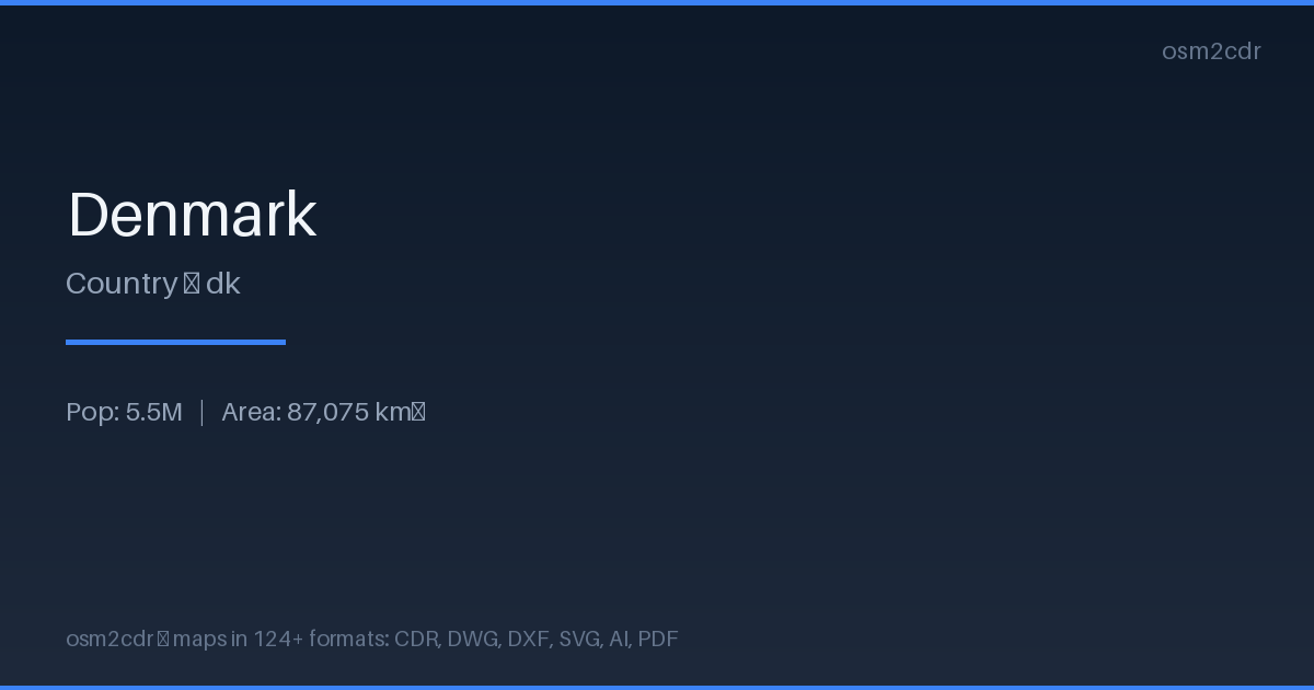
Map passport
Tietoja: SVG
Scalable Vector Graphics — an open XML-based format for web graphics and print. The map stays crisp at any zoom level, perfect for embedding on websites and printing posters.
Käyttötapaukset
- Web design
- infographics
- poster printing
- embedding maps on websites
- map animation
| Luokka | Vector |
| Tiedostopääte | .svg |
| Taso | Free |
What's in the SVG map of Denmark
2,235,540 buildings (450,831 residential, 6,708 commercial, 7,240 industrial, 2,707 religious), 156,225.8 km of roads, 216,486 points of interest, 100 landmarks.
Mostly service roads 49,525.3 km, unclassified roads 31,996.2 km, residential streets 27,601.9 km.
Among the objects: parking — 58,223, parking_space — 24,981, bench — 23,230.
Scalable map with 2,235,540 buildings and 216,486 points of interest. Each object is a separate SVG element for editing.
Main streets: Viborgvej, Hovedvejen, Hobrovej, Hovedvejen, Herningvej
Landmarks: Naturudstilling om Vadehavet, Frøken Fines Bonbonmuseum, Fejø Tekniske Museum, Hanne's Hus, Natur & Kultur formidlingscenter - Myrthuegård
How to use SVG for Denmark
- Select the Denmark area for export
- Choose SVG and customize the map style
- Download and open in Inkscape or Figma
- Edit individual elements as vector objects
Programs that open SVG
FAQ: SVG for Denmark
Does SVG support layers?
Yes, each feature type (buildings, roads, water) is exported as a separate SVG group that can be toggled on and off.
Can I use the SVG on a website?
Yes, SVG is perfect for web pages. The file scales without quality loss and supports interactivity via CSS and JavaScript.