Map of Pool Department in GeoJSON format
Lataa Pool Department kartta GeoJSON-muodossa. OpenStreetMap-data.
Kartan luominen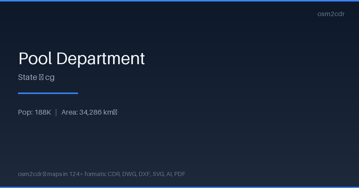
Map passport
Tietoja: GeoJSON
Open text-based geodata format built on JSON. Widely supported by web mapping libraries, human-readable and easy to process with scripts.
Käyttötapaukset
- Web mapping
- geodata exchange via API
- Leaflet/Mapbox visualization
- analytics
| Luokka | GIS |
| Tiedostopääte | .geojson |
| Taso | Free |
What's in the GeoJSON map of Pool Department
21,450 buildings (5,394 residential, 1 commercial, 3 industrial, 2 religious), 5,218.7 km of roads, 53 points of interest, 3 landmarks.
Mostly unclassified roads 2,322.5 km, tertiary roads 1,355.3 km, residential streets 742.9 km.
6.2% of the area is green space.
Among the objects: attraction — 11, police — 7, atm — 6.
GeoJSON contains 21,450 buildings and 53 POIs with coordinates, names and attributes. Ready for Leaflet, Mapbox, D3.js.
Main streets: Avenue de Kintélé, Boulevard Denis Sassou-Nguesso, Avenue Kinkala, Avenue Loukanga, Avenue Brazzaville
Landmarks: Chutes du Loufoulakari, Chutes du Loufoulakari, 100Km Odiba
How to use GeoJSON for Pool Department
- Select the Pool Department area on the map
- Export to GeoJSON
- Load into QGIS, Mapbox Studio, or kepler.gl
- Use for analysis, filtering, and visualization
Programs that open GeoJSON
FAQ: GeoJSON for Pool Department
How to open GeoJSON?
GeoJSON opens in QGIS, geojson.io, Mapbox Studio, kepler.gl, or any text editor — it's just JSON.
Is GeoJSON suitable for large areas?
For large areas, GeoPackage or FlatGeobuf is better — they're more compact and load faster.