Map of Pool Department in PNG format
Laadige alla Pool Department kaart PNG formaadis. OpenStreetMap andmed.
Kaardi genereerimine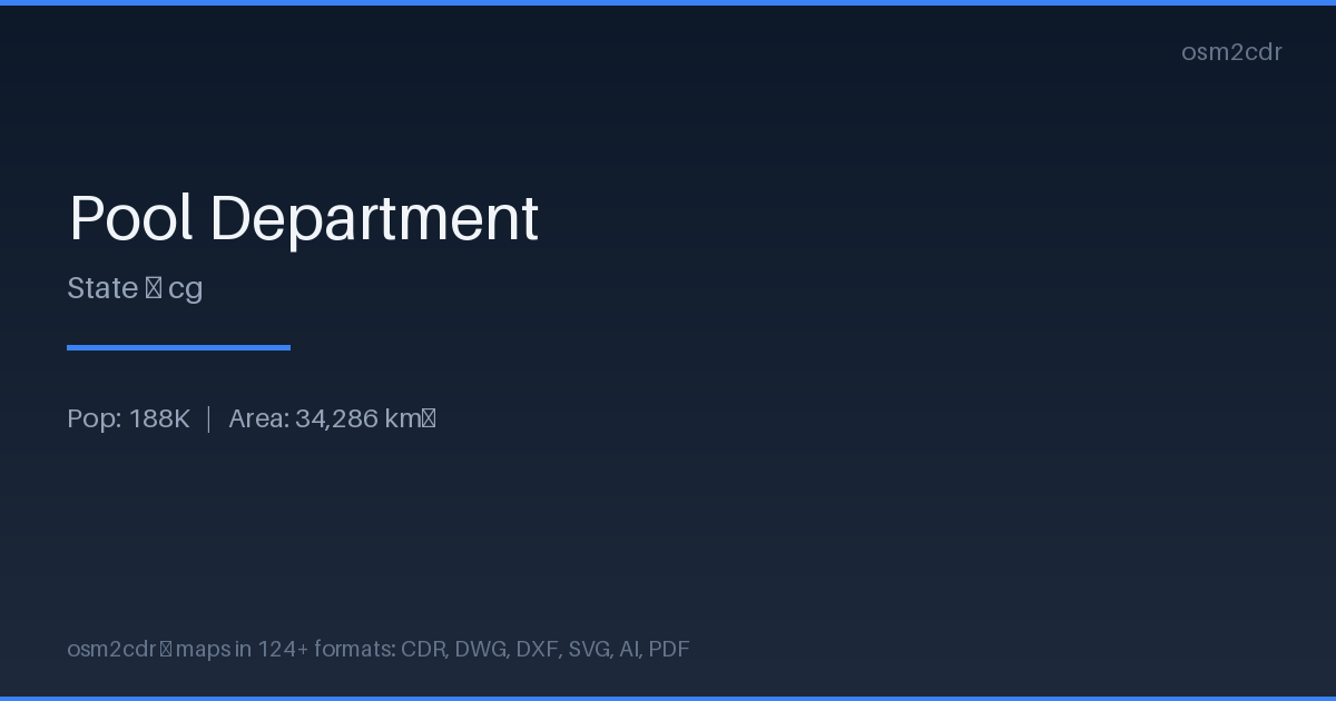
Map passport
Teave PNG
Lossless raster format with transparency support. The rendered map is exported as a high-resolution image ready for documents and websites.
Kasutusjuhud
- Embedding maps in documents
- web publishing
- presentations
- paper printing
| Kategooria | Raster |
| Faililaiend | .png |
| Tase | Free |
What's in the PNG map of Pool Department
21,450 buildings (5,394 residential, 1 commercial, 3 industrial, 2 religious), 5,218.7 km of roads, 53 points of interest, 3 landmarks.
Mostly unclassified roads 2,322.5 km, tertiary roads 1,355.3 km, residential streets 742.9 km.
6.2% of the area is green space.
Among the objects: attraction — 11, police — 7, atm — 6.
High-resolution raster map with 21,450 buildings and 5,218.7 km of roads. For presentations and documents.
Main streets: Avenue de Kintélé, Boulevard Denis Sassou-Nguesso, Avenue Kinkala, Avenue Loukanga, Avenue Brazzaville
Landmarks: Chutes du Loufoulakari, Chutes du Loufoulakari, 100Km Odiba
How to use PNG for Pool Department
- Select the Pool Department map area on the main page
- Choose PNG format and configure export settings
- Click Export and wait for processing
- Download the file and use in your application
Programs that open PNG
FAQ: PNG for Pool Department
What is the PNG map resolution?
Resolution depends on the selected size. Default is 300 DPI, optimal for both print and screen.