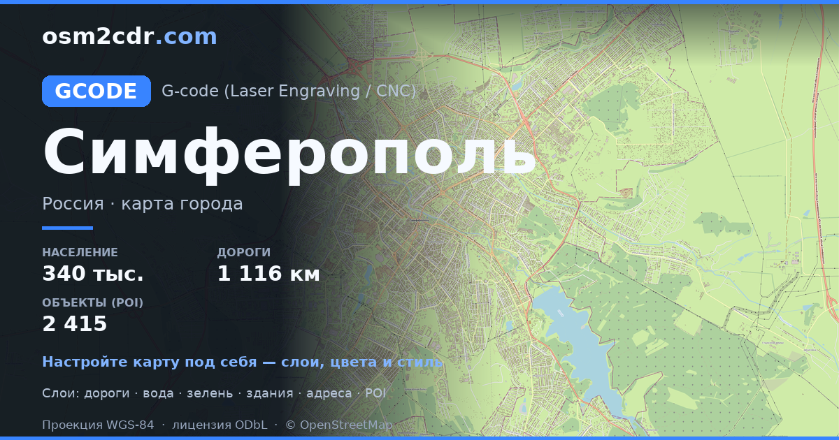
Map of Simferopol in G-code format
A map built from OpenStreetMap data, ready to download
Customize the map
Open this place's area in the constructor and adjust everything to your needs
Open in constructor →Map passport
What this map contains by default
This is how the map is built as-is — every setting can be changed in the constructor.
About G-code
Map of Simferopol in G-code — an export of real OpenStreetMap data for the selected area.
G-code is a CNC and laser engraver control language. Maps are converted to toolpaths for laser cutting or engraving.
Which layers are in the file
This file for the selected area contains:
- Roads
- Buildings
- Water
- Greenery
- Points of interest
Coordinate systems
WGS 84 (EPSG:4326), selectable in the wizard
Compatibility
Units
Meters (projected in the chosen coordinate system)
| Category | GIS |
| File extension | .gcode |
| Tier | Free |
What's in the G-code map of Simferopol
46,360 buildings (3,021 residential, 215 commercial, 53 industrial, 18 religious), 1,116.7 km of roads, 2,415 points of interest, 30 landmarks.
The area covers 70 km², with about 659 buildings per km².
Mostly service roads 450.5 km, residential streets 418.2 km, secondary roads 86.5 km.
11.8% of the area is green space.
The map marks 21 parks and 13 water bodies.
Key amenities: schools — 55, kindergartens — 68, pharmacies — 129.
Public transport: 265 bus stops, 11 tram stops, 1 rail stations.
Main streets: Киевская улица, проспект Победы, Севастопольская улица, улица Беспалова, улица Гагарина
Landmarks: Симферопольский художественный музей, Музей истории города, Музей Шоколада, Историко-этнографический музей крымчаков, ЖД музей на мосту
How to use G-code for Simferopol
- Select the Simferopol map area on the main page
- Choose G-code format and configure export settings
- Click Export and wait for processing
- Download the file and use in your application


