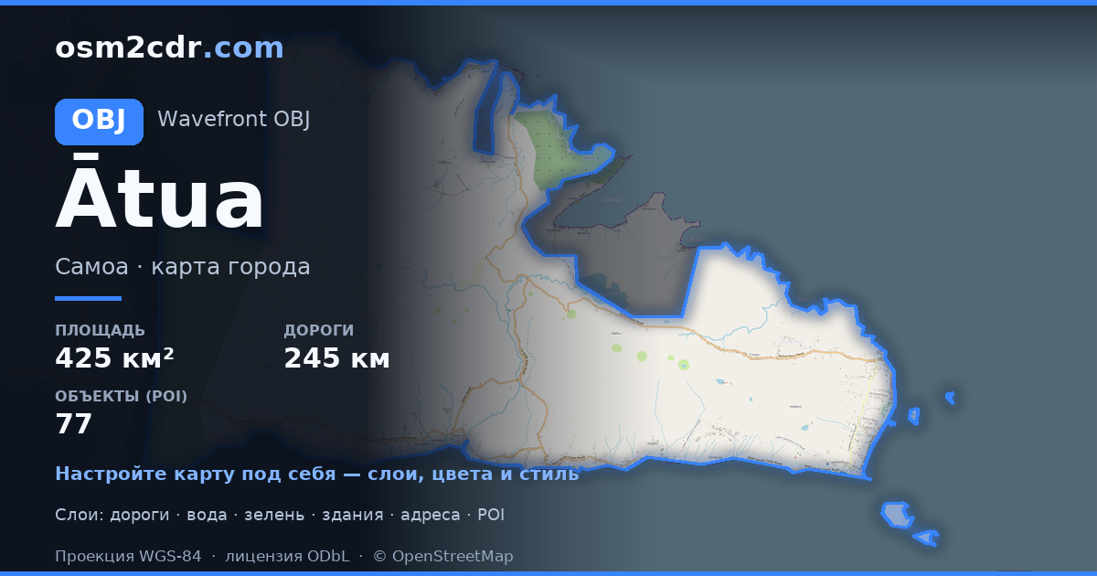
Map of Ātua in OBJ format
A map built from OpenStreetMap data, ready to download
Customize the map
Open this place's area in the constructor and adjust everything to your needs
Open in constructor →Map passport
What this map contains by default
This is how the map is built as-is — every setting can be changed in the constructor.
About OBJ
Map of Ātua in OBJ — an export of real OpenStreetMap data for the selected area.
Wavefront OBJ is a universal 3D model format with material support. Buildings are exported with texture coordinates and groups by type.
Which layers are in the file
This file for the selected area contains:
- Roads
- Buildings
- Water
- Greenery
- Points of interest
Coordinate systems
WGS 84 (EPSG:4326), selectable in the wizard
Compatibility
Units
Meters (projected in the chosen coordinate system)
| Category | 3D |
| File extension | .obj |
| Tier | Free |
What's in the OBJ map of Ātua
9,920 buildings (264 residential, 2 industrial, 36 religious), 245.7 km of roads, 77 points of interest, 11 landmarks.
Mostly primary roads 103.7 km, residential streets 58.7 km, unclassified roads 44.9 km.
9.9% of the area is green space.
Key amenities: convenience stores — 7, Ferry terminal — 2, attractions — 6.
3D scene with 9,920 buildings for Blender, Cinema 4D, and other 3D editors.
Main streets: Main South Coast Road, Richardson Road, Main East Coast Road, Public Road, Le Mafa Pass Road
Landmarks: Sauano Village, Ma Tree, Togitogiga Waterfalls, Sopo'aga Waterfalls, Piula Cave Pool
How to use OBJ for Ātua
- Select the Ātua map area on the main page
- Choose OBJ format and configure export settings
- Click Export and wait for processing
- Download the file and use in your application


