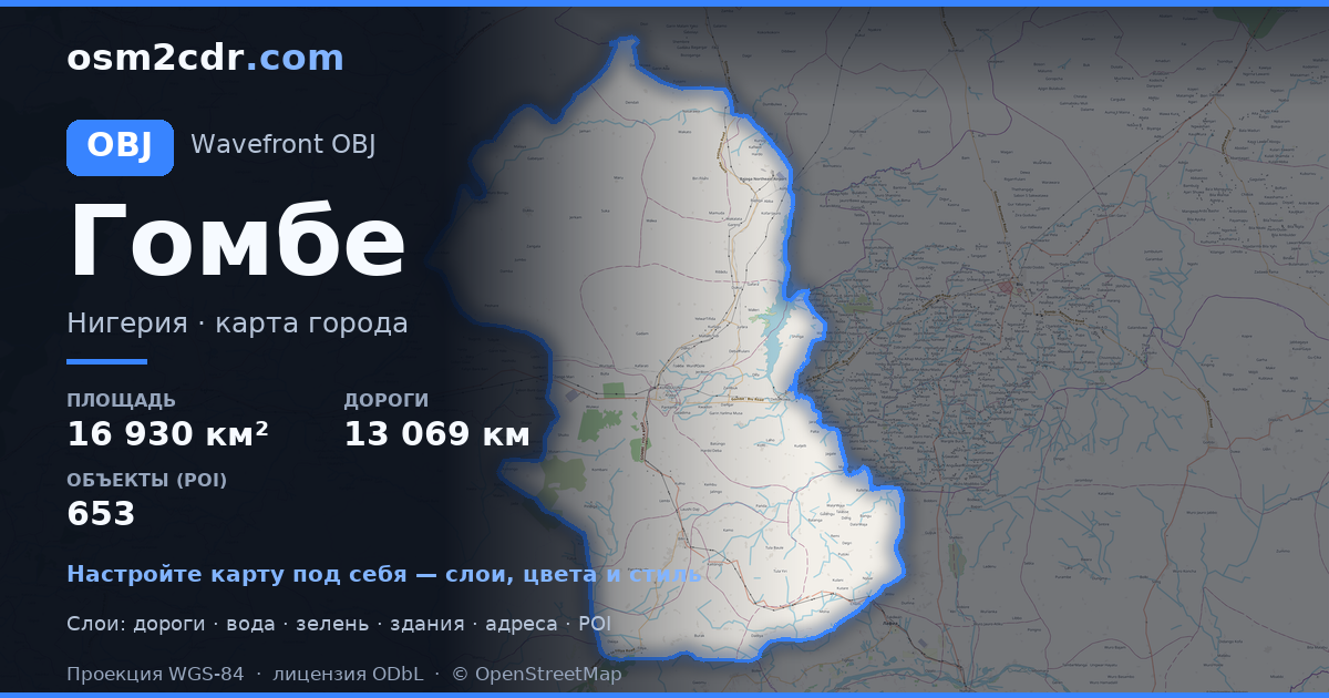
Map of Gombe State in OBJ format
A map built from OpenStreetMap data, ready to download
Customize the map
Open this place's area in the constructor and adjust everything to your needs
Open in constructor →Map passport
What this map contains by default
This is how the map is built as-is — every setting can be changed in the constructor.
About OBJ
Map of Gombe State in OBJ — an export of real OpenStreetMap data for the selected area.
Wavefront OBJ is a universal 3D model format with material support. Buildings are exported with texture coordinates and groups by type.
Which layers are in the file
This file for the selected area contains:
- Roads
- Buildings
- Water
- Greenery
- Points of interest
Coordinate systems
WGS 84 (EPSG:4326), selectable in the wizard
Compatibility
Units
Meters (projected in the chosen coordinate system)
| Category | 3D |
| File extension | .obj |
| Tier | Free |
What's in the OBJ map of Gombe State
308,574 buildings (345 residential, 58 commercial, 3 industrial, 4 religious), 13,069.3 km of roads, 653 points of interest, 15 landmarks.
Mostly unclassified roads 7,016.3 km, residential streets 3,749.6 km, tertiary roads 965.2 km.
1.5% of the area is green space.
Key amenities: colleges — 18, schools — 75, libraries — 8.
3D scene with 308,574 buildings for Blender, Cinema 4D, and other 3D editors.
Main streets: Gombe - Potiskum Road, Mutum Daya to Filiya Road, Gombe - Biu Road, Gombe - Potiskum Road; Ashaka Bajago Road, TUMU KASHERE ROAD
Landmarks: Zoological park, Emir Palace Tangale, District Head Kalmai, WELCOME TO GOMBE CENTRAL GATE, Field 2
How to use OBJ for Gombe State
- Select the Gombe State map area on the main page
- Choose OBJ format and configure export settings
- Click Export and wait for processing
- Download the file and use in your application


