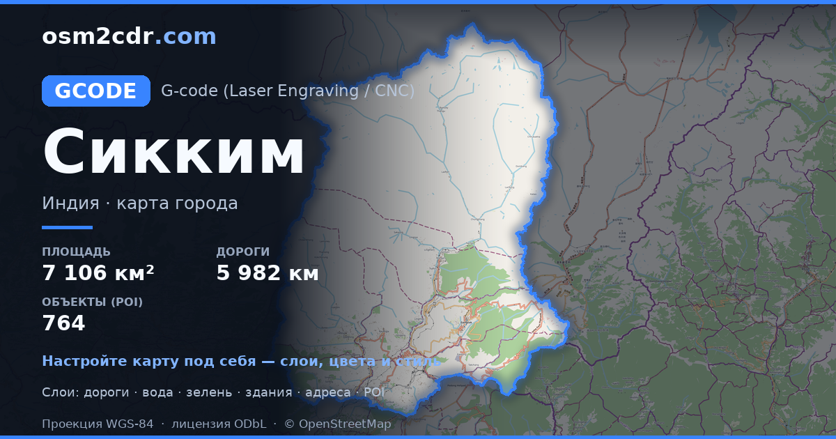
Map of Sikkim in G-code format
A map built from OpenStreetMap data, ready to download
Customize the map
Open this place's area in the constructor and adjust everything to your needs
Open in constructor →Map passport
What this map contains by default
This is how the map is built as-is — every setting can be changed in the constructor.
About G-code
Map of Sikkim in G-code — an export of real OpenStreetMap data for the selected area.
G-code is a CNC and laser engraver control language. Maps are converted to toolpaths for laser cutting or engraving.
Which layers are in the file
This file for the selected area contains:
- Roads
- Buildings
- Water
- Greenery
- Points of interest
Coordinate systems
WGS 84 (EPSG:4326), selectable in the wizard
Compatibility
Units
Meters (projected in the chosen coordinate system)
| Category | GIS |
| File extension | .gcode |
| Tier | Free |
What's in the G-code map of Sikkim
155,809 buildings (1,631 residential, 14 commercial, 16 industrial, 15 religious), 5,982.2 km of roads, 764 points of interest, 15 landmarks.
The area covers 7,106 km², with about 22 buildings per km².
Mostly unclassified roads 3,720.0 km, tertiary roads 1,013.8 km, trunk roads 435.1 km.
The map marks 5 parks and 10 water bodies.
Key amenities: schools — 14, hospitals — 15, clinics — 15.
Public transport: 17 bus stops.
Main streets: North Sikkim Highway, Gangtok - Assam - Pakyong Road, Rannipool - Rumtek - Sirwani Road, Gipmochi Highway, Penlong - Samdong Road
Landmarks: Sikkim high court museum (frequently closed), Namgyal Institute of Tibetology, Sculpture Shed, Museum on third floor, Black Cat Museum (Indian Army)
How to use G-code for Sikkim
- Select the Sikkim map area on the main page
- Choose G-code format and configure export settings
- Click Export and wait for processing
- Download the file and use in your application


