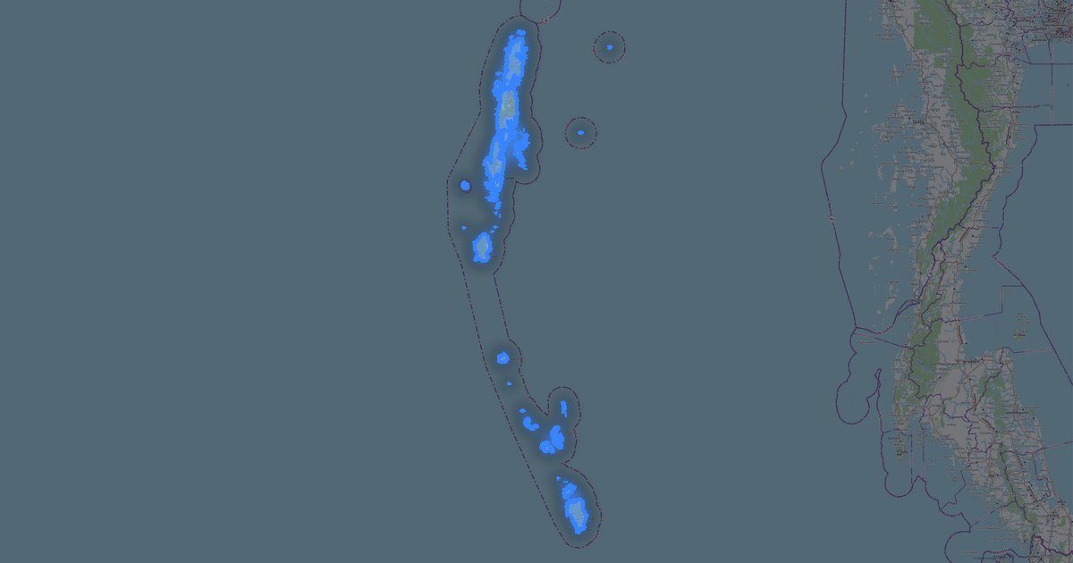
Map of Odisha in FBX format
A map built from OpenStreetMap data, ready to download
Customize the map
Open this place's area in the constructor and adjust everything to your needs
Open in constructor →Map passport
What this map contains by default
This is how the map is built as-is — every setting can be changed in the constructor.

About FBX
Map of Odisha in FBX — an export of real OpenStreetMap data for the selected area.
FBX (Filmbox) is the Autodesk format for 3D data exchange between DCC applications. Supports animation, skeletons, and complex scenes.
Which layers are in the file
The set of layers depends on the selected area.
What this file will not contain
In FBX for Odisha the following will not travel: 95 731 km of roads, 10 water features, 70 054 km² of green areas, 3 818 points of interest — the format prints solid volumes extruded from building outlines, and other layers are not part of the model.
File size
The expected size of the FBX file for Odisha is about 231 KB; the exact size depends on the chosen layers and area.
Coordinate systems
WGS 84 (EPSG:4326), selectable in the wizard
Compatibility
Units
Meters (projected in the chosen coordinate system)
| Category | 3D |
| File extension | .fbx |
| Tier | Open Beta |
What's in Odisha
134,865 buildings (5,859 residential, 191 commercial, 500 industrial, 369 religious), 95,730.8 km of roads, 3,818 points of interest, 15 landmarks.
The area covers 155,515 km², with about 1 buildings per km².
Mostly unclassified roads 33,997.9 km, tertiary roads 21,167.8 km, residential streets 19,245.6 km.
20.8% of the area is green space.
The map marks 5 parks and 10 water bodies.
Key amenities: colleges — 47, schools — 168, hospitals — 958.
Public transport: 286 bus stops, 36 tram stops, 330 rail stations.
Main streets: Sambalpur - Sundargarh - Rourkela Highway, Similipal Road, Naya Jagannath Sadak, Cuttack - Paradip Road, Umerkote - Malgam Rd
Landmarks: buddhist museum, Tribal Museum, Arka Kshetra, odisha state musuem, Paradip Marine Museum
How to use FBX for Odisha
- Select the Odisha map area on the main page
- Choose FBX format and configure export settings
- Click Export and wait for processing
- Download the file and use in your application