Map of Delhi in G-code format
A map built from OpenStreetMap data, ready to download
Customize the map
Open this place's area in the constructor and adjust everything to your needs
Open in constructor →Map passport
What this map contains by default
This is how the map is built as-is — every setting can be changed in the constructor.

About G-code
Map of Delhi in G-code — an export of real OpenStreetMap data for the selected area.
G-code is a CNC and laser engraver control language. Maps are converted to toolpaths for laser cutting or engraving.
Which layers are in the file
This file for the selected area contains:
- Roads
- Buildings
- Water
- Greenery
- Points of interest
Coordinate systems
WGS 84 (EPSG:4326), selectable in the wizard
Compatibility
Units
Meters (projected in the chosen coordinate system)
| Category | GIS |
| File extension | .gcode |
| Tier | Free |
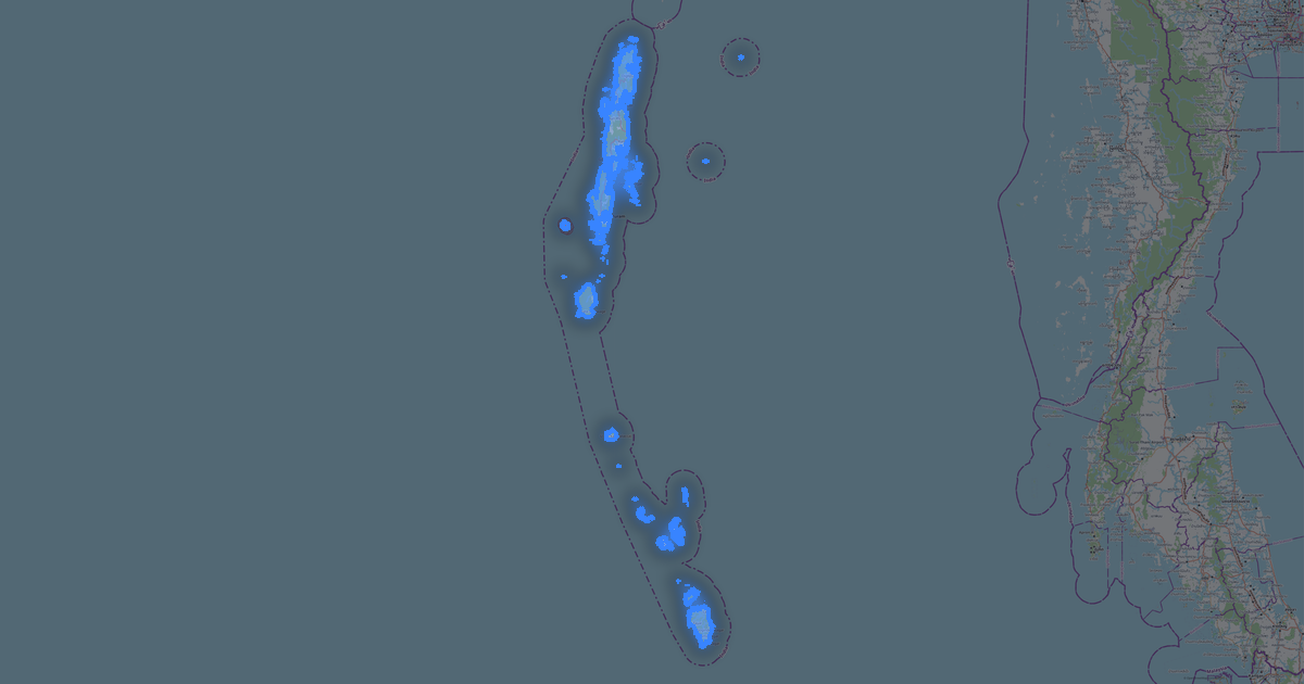
What's in the G-code map of Delhi
237,261 buildings (9,437 residential, 1,682 commercial, 187 industrial, 126 religious), 23,365.1 km of roads, 11,149 points of interest, 15 landmarks.
The area covers 1,478 km², with about 161 buildings per km².
Mostly residential streets 14,540.3 km, service roads 3,429.7 km, tertiary roads 2,315.8 km.
7.8% of the area is green space.
The map marks 5 parks and 7 water bodies.
Key amenities: schools — 258, hospitals — 498, clinics — 455.
Public transport: 1,992 bus stops, 381 tram stops, 446 metro stations, 252 rail stations.
Main streets: Mahatma Gandhi Marg, Shivaji Marg, Outer Ring Road, Najafgarh Dhansa Road, Najafgarh Daurala Road
Landmarks: National Children Museum, World War I museum, Shanker's International Doll Museum, Shankar's Doll Museum, Bahi Mati Dass museum
How to use G-code for Delhi
- Select the Delhi map area on the main page
- Choose G-code format and configure export settings
- Click Export and wait for processing
- Download the file and use in your application