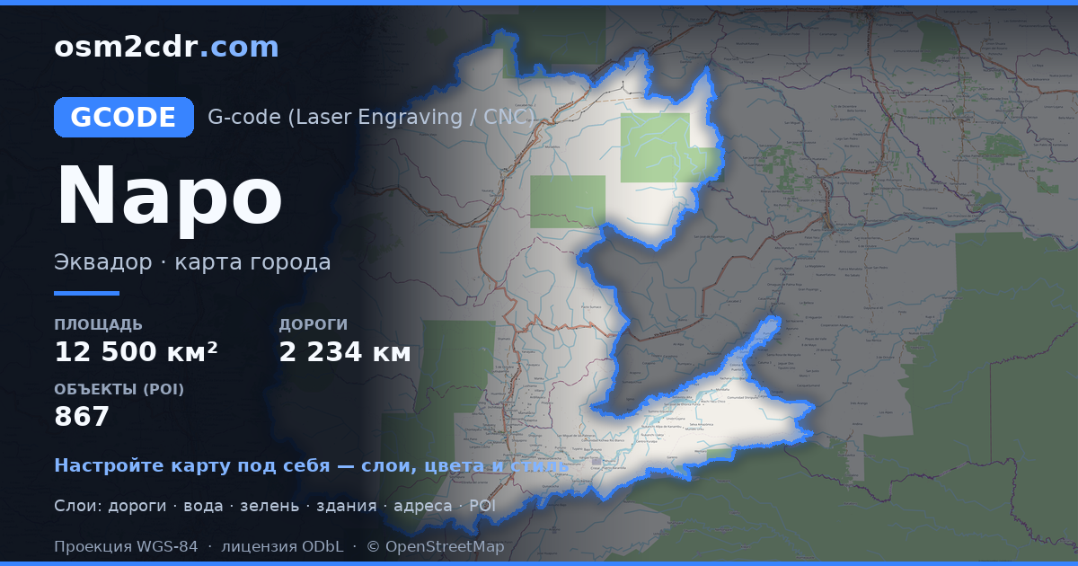
Map of Napo in G-code format
A map built from OpenStreetMap data, ready to download
Customize the map
Open this place's area in the constructor and adjust everything to your needs
Open in constructor →Map passport
What this map contains by default
This is how the map is built as-is — every setting can be changed in the constructor.
About G-code
Map of Napo in G-code — an export of real OpenStreetMap data for the selected area.
G-code is a CNC and laser engraver control language. Maps are converted to toolpaths for laser cutting or engraving.
Which layers are in the file
This file for the selected area contains:
- Roads
- Buildings
- Water
- Greenery
- Points of interest
Coordinate systems
WGS 84 (EPSG:4326), selectable in the wizard
Compatibility
Units
Meters (projected in the chosen coordinate system)
| Category | GIS |
| File extension | .gcode |
| Tier | Free |
What's in the G-code map of Napo
15,561 buildings (970 residential, 14 commercial, 6 industrial, 5 religious), 2,234.1 km of roads, 867 points of interest, 15 landmarks.
Mostly unclassified roads 1,051.0 km, residential streets 382.4 km, trunk roads 318.9 km.
Key amenities: schools — 29, supermarkets — 17, convenience stores — 23.
Main streets: Via Yuralpal, Via Ahuano Yuralpa, Via Los Zorros Yuralpa, Vía a Oyacachi, Via Misahualli
Landmarks: Indigenous traps, Kamak Maki, Narupayaku Hummingbird Garden, Mirador de Shipati Lodge, Comunidad Ayllu awarina
How to use G-code for Napo
- Select the Napo map area on the main page
- Choose G-code format and configure export settings
- Click Export and wait for processing
- Download the file and use in your application


