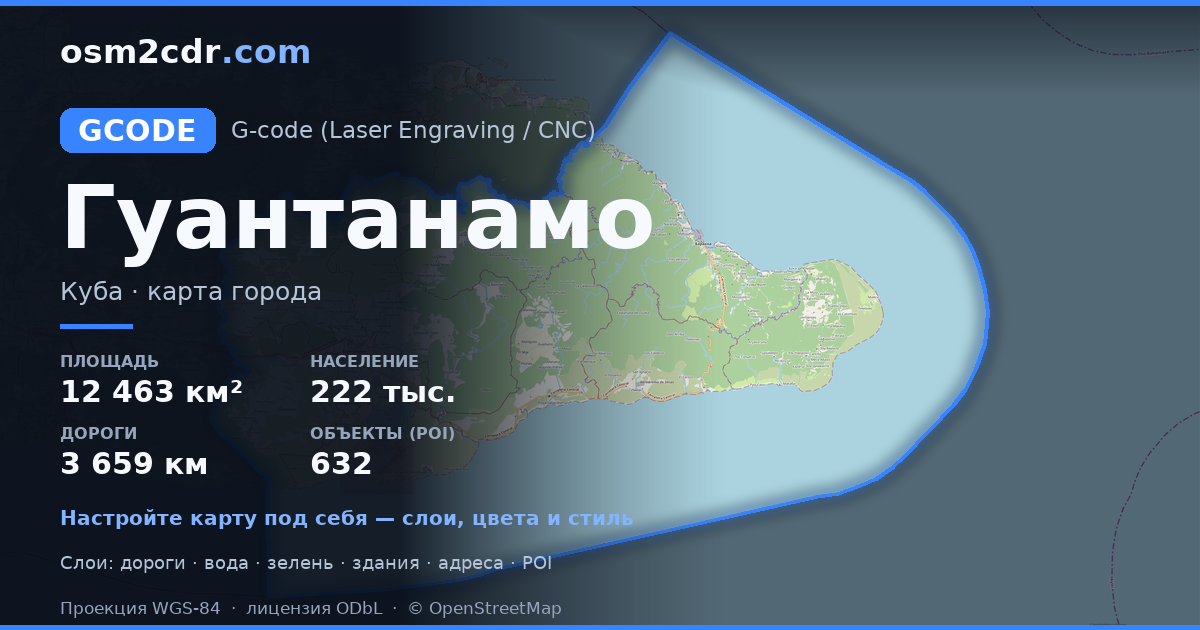
Map of Guantánamo in G-code format
A map built from OpenStreetMap data, ready to download
Customize the map
Open this place's area in the constructor and adjust everything to your needs
Open in constructor →Map passport
What this map contains by default
This is how the map is built as-is — every setting can be changed in the constructor.
About G-code
Map of Guantánamo in G-code — an export of real OpenStreetMap data for the selected area.
G-code is a CNC and laser engraver control language. Maps are converted to toolpaths for laser cutting or engraving.
Which layers are in the file
This file for the selected area contains:
- Roads
- Buildings
- Water
- Greenery
- Points of interest
Coordinate systems
WGS 84 (EPSG:4326), selectable in the wizard
Compatibility
Units
Meters (projected in the chosen coordinate system)
| Category | GIS |
| File extension | .gcode |
| Tier | Free |
What's in the G-code map of Guantánamo
10,340 buildings (495 residential, 2 commercial, 40 industrial, 5 religious), 3,659.6 km of roads, 632 points of interest, 15 landmarks.
The area covers 12,463 km², with about 1 buildings per km².
Mostly unclassified roads 1,613.7 km, residential streets 749.0 km, tertiary roads 442.6 km.
The map marks 5 parks and 10 water bodies.
Key amenities: schools — 26, clinics — 11, pharmacies — 20.
Public transport: 132 bus stops, 4 tram stops, 30 rail stations.
Main streets: Carretera Central, Vía Mulata, Carretera Guantánamo - Sagua, Carretera de Moa-Baracoa, Carretera a Maisí
Landmarks: Museo Arqueológico "Cacique Hatuey", Museo Comandancia Columna 18 Antonio López Fernández, Museo Arqueológico La Cueva Del Paraiso, Casa del Changüí, Mausoleo del Mambisado
How to use G-code for Guantánamo
- Select the Guantánamo map area on the main page
- Choose G-code format and configure export settings
- Click Export and wait for processing
- Download the file and use in your application


