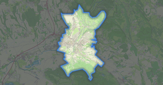
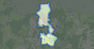
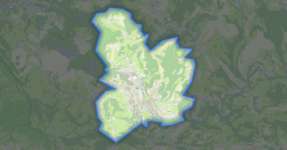
Map of Liberec in OBJ format
A map built from OpenStreetMap data, ready to download
Customize the map
Open this place's area in the constructor and adjust everything to your needs
Open in constructor →Map passport
What this map contains by default
This is how the map is built as-is — every setting can be changed in the constructor.
.obj
About OBJ
Map of Liberec in OBJ: 31 530 buildings — in the WGS 84 coordinate system, units are meters.
Which layers are in the file
This file for the selected area contains:
- Buildings
Geometry by layer
- Buildings — solid volumes extruded from building outlines
What the file carries
The OBJ file for Liberec: features come as a single stream, without named layers, OpenStreetMap tags are not kept — geometry and styling remain, object heights are carried.
What this file will not contain
In OBJ for Liberec the following will not travel: 752 km of roads, 10 water features, 145 km² of green areas, 1 428 points of interest — the format prints solid volumes extruded from building outlines, and other layers are not part of the model.
File size
The expected size of the OBJ file for Liberec is about 283 KB; the exact size depends on the chosen layers and area.
Coordinate systems
WGS 84 (EPSG:4326), selectable in the wizard
Compatibility
Units
Meters (projected in the chosen coordinate system)
| Category | 3D |
| File extension | .obj |
| Tier | Open Beta |
What's in the OBJ map of Liberec
31,530 buildings (10,409 residential, 147 commercial, 849 industrial, 13 religious), 752.3 km of roads, 1,428 points of interest, 15 landmarks.
The area covers 106 km², with about 297 buildings per km².
Mostly residential streets 412.1 km, service roads 162.8 km, tertiary roads 73.3 km.
The map marks 5 parks and 10 water bodies.
Key amenities: pharmacies — 22, convenience stores — 29, restaurants — 99.
Public transport: 399 bus stops, 87 tram stops, 11 rail stations.
3D scene with 31,530 buildings for Blender, Cinema 4D, and other 3D editors.
Main streets: Jizerská, Kateřinská, Horská, Hejnická, Švermova
Landmarks: Automobilmuseum, Technické muzeum Liberec, Památník obětem šoa, Parní lokomotiva, Liberecké podzemí
How to use OBJ for Liberec
- Select the Liberec map area on the main page
- Choose OBJ format and configure export settings
- Click Export and wait for processing
- Download the file and use in your application